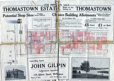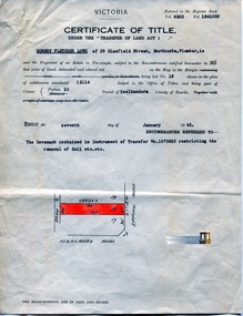


Historical information
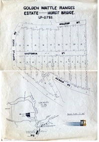
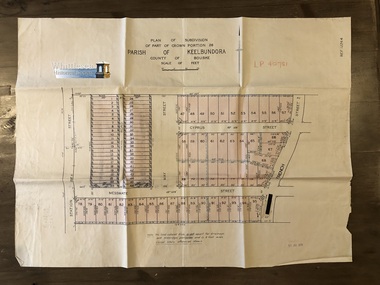
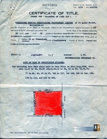
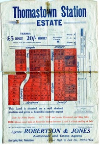
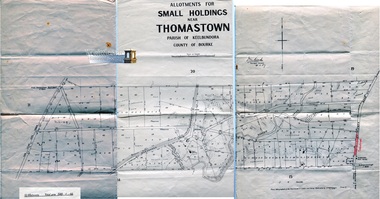
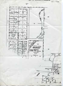
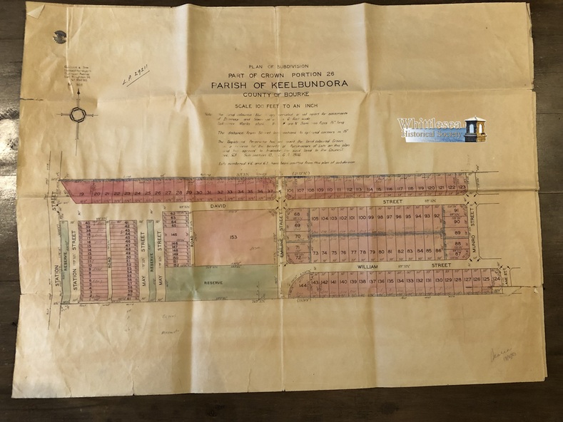
Subdivision of Part of Crown Portion 26, Lalor, Vic.
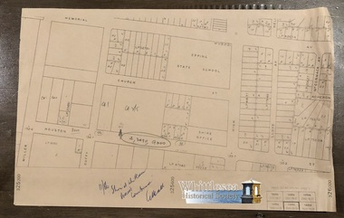
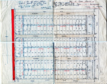
Map 1: Station St, David St, William St, May St, French St and Dalton Road.
Map 2: David St, William St, Munro St, Jean St, Lorne St, Plane St, Ash St and Dalton Road.
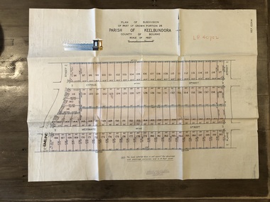
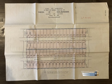
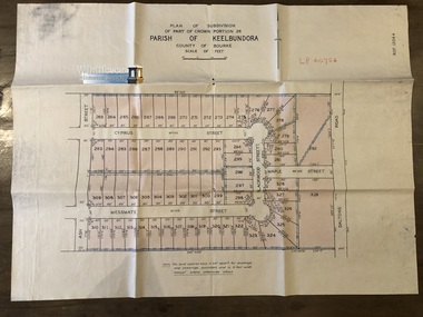
Messmate Street, Cyprus Street, Ash Street, Maple Street and Daltons Road recorded on the map.
Physical description
Two sheets, attached. The maps are fragile and have tears along the fold lines.
Map 1. shows subdivision of blocks numbered 19 - 124, sizes of the blocks, and names of the surrounding streets.
Map 2. shows subdivision of blocks numbered 19 - 124, sizes of the blocks, and names of the surrounding streets.
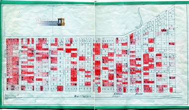
Map 5 of 20 in green folder.
Inscriptions & markings
Map 1. LP 29211.
Map 2. LP 29212.
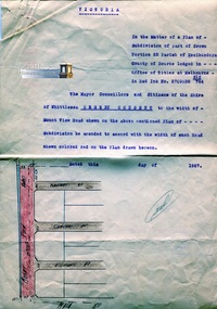
Both maps, Sealed 13 May 1953.
Gulliver & Sim, Licensed Surveyors, 15 Lorrean Avenue, East Brighton. S6. Tel. X54780.