Showing 1073 items matching "south melbourne city"
-
 City of Whittlesea
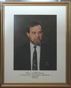
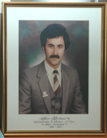
Photograph (item) - Photographs - Councillors, Councillor Constantine Mastoris Mayor 1990 – 1991
whittlesea councillors, whittlesea council -
 City of Whittlesea
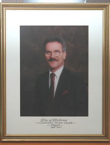
Photograph (item) - Photographs - Councillors, Councillor Victor Grech Mayor 1989-1990
whittlesea councillors, whittlesea council -
 City of Whittlesea
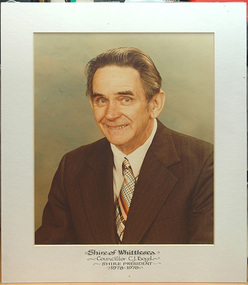
Photograph (item) - Photographs - Councillors, Shire of Whittlesea Councillor CJ Boyd Shire President 1978-1979
whittlesea councillors, whittlesea council -
 City of Whittlesea
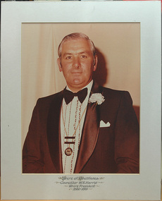
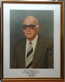
Photograph (item) - Photographs - Councillors, Shire of Whittlesea Councillor WC Harris Shire President 1980-1981
whittlesea councillors, whittlesea council -
 City of Whittlesea
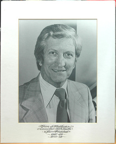
Photograph (item) - Photographs - Councillors, Shire of Whittlesea Councillor WA Smith Shire President 1967-1968 & 1977-1978
subjects whittlesea councillors, whittlesea council -
 City of Whittlesea
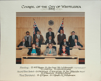
Photograph (item) - Photographs - Councillors, Council of the City of Whittlesea 1992
whittlesea councillors, whittlesea council -
 City of Whittlesea
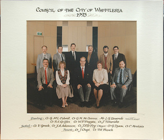
Photograph (item) - Photographs - Councillors, Council of the City of Whittlesea 1993
whittlesea councillors, whittlesea council -
 City of Whittlesea
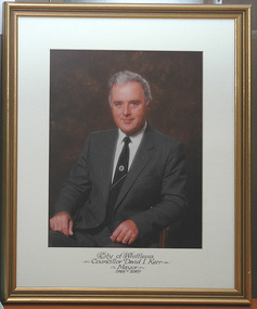
Photograph (item) - Photographs - Councillors, Councillor David I Kerr Mayor 1988 – 1989
whittlesea councillors, whittlesea council -
 City of Whittlesea
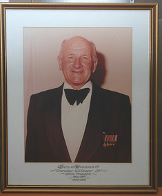
Photograph (item) - Photographs - Councillors, Councillor G.E. Draper, JP Shire President 1966 - 1967/1975-1976
whittlesea councillors, whittlesea council -
 City of Whittlesea
Photograph (item) - Photographs - Councillors, Councillor F.Merlino JP Shire President 1986 - 1987
whittlesea councillors, whittlesea council -
 City of Whittlesea
Photograph (item) - Photographs - Councillors, Councillor H.R Uren JP Shire President 1961 - 1963/1974 - 1975
whittlesea councillors, whittlesea council -
 City of Whittlesea
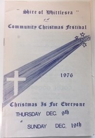
Booklet (item) - Shire of Whittlesea Community Christmas Festival, Community Christmas Festival 1976
booklet, whittlesea festival -
 City of Whittlesea
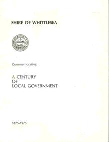
Booklet (item), Shire of Whittlesea Commemorating A Centenary of Local Government
booklet -
 City of Whittlesea
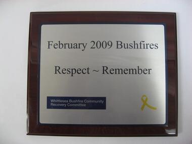
Plaque (item), February 2009 Bushfires Respect , Remember Whittlesea Bushfire Community Recovery Committee
plaque -
 City of Whittlesea
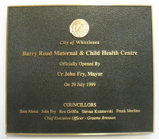
Plaque (item), City of Whittlesea Barry Road Maternal & Child Health Centre
plaque -
 City of Whittlesea
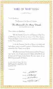
Letter (item) - illuminated addresses, Letter under seal Addressed to the Governor of the State of Victoria, Sir Henry Winneke
illuminated addresses -
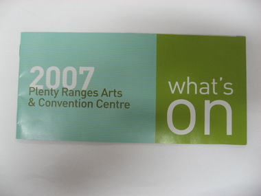 City of Whittlesea
Booklet (item), Plenty Ranges Arts and Convention Centre
booklet -
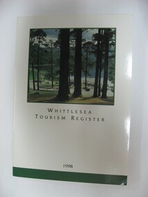 City of Whittlesea
Booklet (item), Whittlesea Tourism Register
booklet -
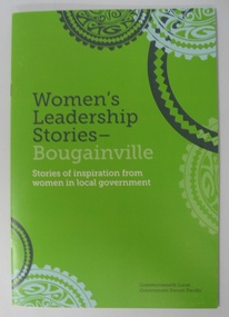 City of Whittlesea
Booklet (item), Women's Leadership Stories - Bougainville: Stories of inspiration from women in Local Government
booklet -
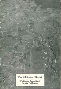 City of Whittlesea
Booklet (item), The Whittlesea District
The Whittlesea district / Whittlesea Agricultural Society publication, 16 pages, black and white photographs, maps, graphs. Booklet provides a brief history and analysis of farming in the Whittlesea district up to the late 1940s. Publication c.1950sbooklet -
 City of Whittlesea
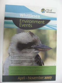
Booklet (item), Environment Events
booklet -
 City of Whittlesea
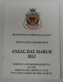
Booklet (item), Anzac Day March 2013
Booklets. Whittlesea 2013 Anzac Day March program and information bookletbooklet -
 City of Whittlesea
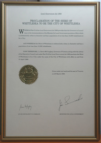
Letter (item) - illuminated addresses, Proclamation of the Shire of Whittlesea to be the City of Whittlesea
Framed paper certificate with gold seal confirming the proclamation of the Shire of Whittlesea to be the City of Whittlesea, 29 March, 1988. Signed by the Governor of Victoria and the Minister for Local Governmentletter, illuminated addresses -
 City of Whittlesea
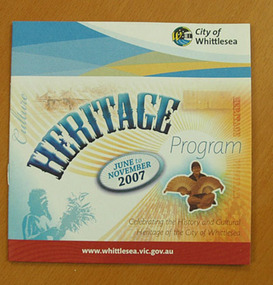
Booklet (item), City of Whittlesea Heritage Program June - November 2007
booklet -
 City of Whittlesea
Booklet (item), City of Whittlesea Heritage Program May - October 2005
booklet -
 City of Whittlesea
Booklet (item), Whittlesea Victoria Australia Tourist Guide 2006/07 : Come See Whittlesea
booklet -
 City of Whittlesea
Booklet (item), City of Whittlesea Community Festival - Bridging the Gap
booklet -
 City of Whittlesea
Booklet (item), Second World War Memorial Dedication
Commemorative program for the dedication of the Second World War Monument in Whittlesea, September 2013booklet -
 City of Whittlesea
Booklet (item), Shire of Whittlesea - Know Your Shire 1974
booklet -
 City of Whittlesea
Booklet (item), Doing Business in the City of Whittlesea
booklet