Showing 939 items
matching channel
-
 Eltham District Historical Society Inc
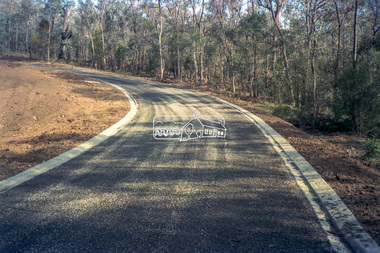
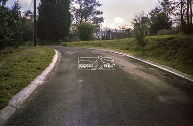
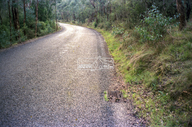
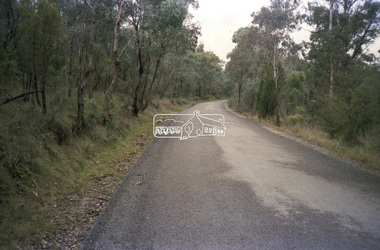
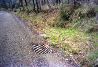
Negative - Photograph, Eltham Shire Council, Unidentified road, Eltham district, c.1985
One of a series of images on roll of film shot by Eltham Shire Council officers focussing on road and street infrastructure maintenance and upgrades and new rollover kerb and channel profilesRoll of 35mm colour negative film, 4 stripsKodak CP100 5094infrastructure, road construction, road drainage, road sealing, roadworks, shire of eltham, streets, streetscape -
 Eltham District Historical Society Inc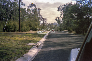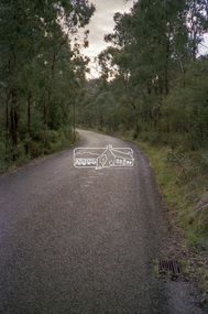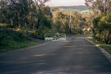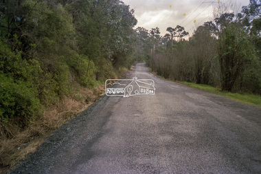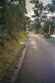
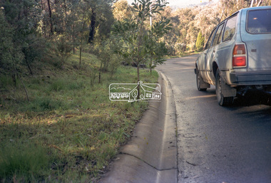
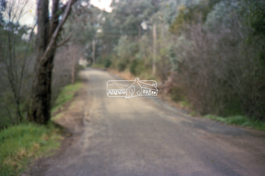
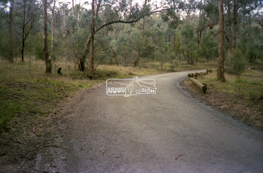
Negative - Photograph, Eltham Shire Council, Unidentified road, Eltham district, c.1985
One of a series of images on roll of film shot by Eltham Shire Council officers focussing on road and street infrastructure maintenance and upgrades and new rollover kerb and channel profilesRoll of 35mm colour negative film, 5 stripsKodak CP100 5094infrastructure, road construction, road drainage, road sealing, roadworks, shire of eltham, streets, streetscape -
 Eltham District Historical Society Inc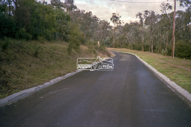
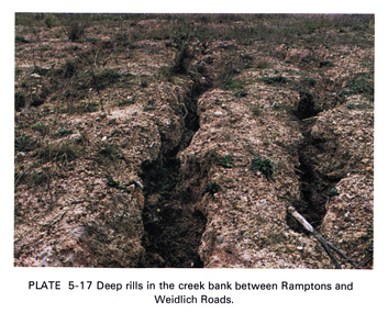
Work on paper (Sub-Item) - Photograph, Deep rills in the creek bank between Rampstons and Weidlich Roads
Colour photograph of deep rills in the Diamond Creek bank between Rampstons and Weidlich Roads, Eltham North. The shallow channels are cut into the soil by the erosive action of flowing water.eltham, creek bank, erosion, eltham north -
 Tatura Irrigation & Wartime Camps Museum
Booklet - Book, History of the Waranga Basin, 1977
As part of rich history of Rushworth after gold was discovered. Gunn's swamp became Waranga Basin when a 24 miles channel was constructed from the Goulburn Weir to the inlet.Blue cover, black writing, yachting scene on front cover. Waranga basin inlet and outlet pictures on the backJoyce Hammond 19/8/77irrigation, books, history, local -
Tatura Irrigation & Wartime Camps Museum
Booklet - Book, History of the Waranga Basin, 1977
As part of rich history of Rushworth after gold was discovered. Gunn's swamp became Waranga Basin when a 24 miles channel was constructed from the Goulburn Weir to the inlet.Blue cover, black writing, yachting scene on front cover. Waranga basin inlet and outlet pictures on the backJoyce Hammond 19/8/77irrigation, books, history, local -
Bendigo Historical Society Inc.
Map - PANNOOMILLOO : COUNTY OF BENDIGO, 1957
Map. Pannoomilloo, County of Bendigo, Pannoobamawm, Milloo, Diggorra, Warragamba. Elmore Cohuna Railway. Waranga Mallee Channel. By authority W.M. Houston, Government Printer, Melbourne. Drawn and reproduced at the Department of Lands and Survey, Melbourne 1957. Price 2/-. (number 83 in map cupboard 1)W.M. Houston, Government Printer, Melbourne.map, bendigo, pannoomilloo -
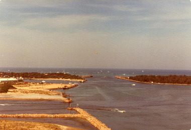
 Lakes Entrance Historical Society
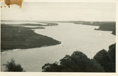
Photograph - Lake King, 1950c
Also copy of same view, stained, 9 x 14Black and white photograph of the Narrows and Reeves Channel of Lake King, Gippsland Lakes. It shows Rigby, Fraser, and Flannagan Islands opposite the steep shoreline of the mainland. Taken from Jemmy's Point, it shows a recently built groyne from Rigby Island into the Narrows. Lakes Entrance Victoriaislands, waterways, topography -
 Lakes Entrance Historical Society
Photograph - Apex Park Lakes Entrance Victoria, M Holding, 1985 c
The town section of North Arm previously known as The Backwater Road Colour photograph taken from Kalimna Heights showing outer barrier and entrance channel. Road and new bridge to Bullock Island Apex Park beside North Arm in foreground has old playground equipment with timber fort and hillock with underground tunnel Lakes Entrance Victoria topography, waterways, parks, bullock island -
Ringwood and District Historical Society
Report, Ringwood Primary School - Review Panel Report June 1987, Jun-87
The report contains school review seen as a channel for gaining independent opinion on the school's performance. Also included is a parent participation review, parent survey and responses, and a functioning & climate survey.Blue covered document with black spinex binding containing typed report of the Review Panel of Ringwood Primary School - June 1987 -
Tatura Irrigation & Wartime Camps Museum
Book, Water Ledger, 1928
Ledger used at State Rivers & Water Supply Commission - Rodney District, showing water discharges from Waranga and Goulburn Reservoir and Weir and channels. Also rainfall. 1928 to 1950Large book.Green cardboard cover. suede leather spine and cornersirrigation, rural, industries, irrigaiton -
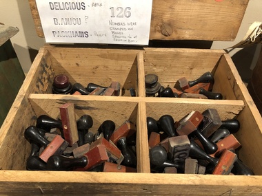 Mont De Lancey
Functional object - Rubber Stamps, 1940's
Used on Orchard of James Bienvenu's family from Doncaster East in the 1940's. Mr. Bienvenu is a descendant of Mr. A.H. Bienvenu, who came from Guernsey in the Channel Islands.Wooden box containing various fruit variety and number Rubber Stamps.stamps (tools), rubber stamps -
Tatura Irrigation & Wartime Camps Museum
Photograph, Goulburn Irrigation System, 1970s
Taken by photographer for State Rivers and Water Supply Commission.Medium sized black and white photograph. Map showing the Goulburn Irrigation System in Northern Victoria including Eildon Reservoir, Waranga Reservoir, Eppalock Reservoir, Eppalock, Cairn Curran, Laancoorie, Tullaroop Reservoirs, the Stuart Murray, Cattanach Canal, East Goulburn Main and Waranga Western Channels.goulburn weir, victorian state rivers and supply commission -
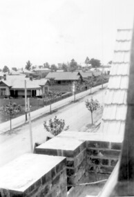 Surrey Hills Historical Society Collection
Photograph, Union Road looking west from the steeple of Holy Trinity Church, 1922, 1922
At the edge of the church roof and on the horizon is 'The Knoll' on the corner of Union Road and Wandsworth Road. To the left of this is 297 Mont Albert Road, home of the Michael Parer family and further left is "Quamby", home of the Sherar family. This is easily recognised by the square viewing tower located on the west wing of the house. The Sherar family owned 'Quamby' from 1900 until 1925, when it became Mosgiel Private Hospital. Norman Carter took many photos of Surrey Hills and Mont Albert in the 1920s; many associated with events and activities of the Church of England. Black and white photo of taken from the steeple of Holy Trinity Church, during its construction, across Union Road to the north-west. In the foreground immature street trees can be seen and an original telephone pole with white insulators. The street has formed paths and bluestone kerb and channelling. holy trinity anglican church, union road, the knoll, quamby, street trees, telegraph and light poles, mosgiel hospital -
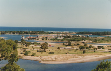
 Lakes Entrance Historical Society
Photograph - The Entrance, Holding George, 1979
Date made April 1979Colour photograph of the Entrance, Bullock Island and Reeves Channel, taken from Jemmys Point during the King of the Straits, offshore powerboat race. It also shows the built up groynes at the entrance to the North Arm, Pecks fish processing factory seen on Bullock Island. Lakes Entrance Victoriawaterways, recreation, boats and boating -
![Rear [inside] view of a brass lock with key from the Port and Harbours suction dredge 'Pioneer' used at the Queenscliff creek entrance](/media/collectors/4f729f7e97f83e03086018d1/items/5f855cde425f7f235017d662/item-media/612dad24e8448ba3f69e3419/item-fit-380x285.jpg) Queenscliffe Maritime Museum
Queenscliffe Maritime MuseumFunctional object - Lock, door, brass
The Argus Melbourne Friday 10 July 1908 QUEENSCLIFF, Thursday. - After a series of successful experiments in dredging the eastern end of the South Channel, the suction dredge Pioneer sailed this after-noon for the Gippsland Lakes, where work awaits her. During operations in the South Channel the dredge worked on a sandy and shell bottom in depths ranging from 35ft. to 40ft. with unqualified success, performing the work much quicker and cheaper than the bucket drudge John Nimmo, which is still employed. Captain Macarthur was in charge of the operations.Brass lock from Port and Harbours suction dredge 'Pioneer' used at the Queenscliff creek entrance door lock, suction dredge, pioneer -
 Melbourne Legacy
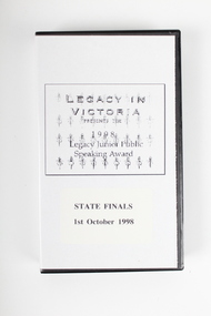
Film - Video tape, 1998 Legacy Junior Public Speaking Award - State Finals 1st October 1998, 1998
Since 1988 Legacy has held a public speaking contest called the Junior Plain English Speaking Award. Schools were eligible to send along representatives to compete. The following was taken from a programme in 1996: "The Award aim is to promote enhanced oral communication skills for 12-14 year old students and to help young people appreciate the ideals of Legacy - voluntary service, caring and comradeship - and the need for remembrance. It began in 1988 in the Melbourne area with the support of the Ministry of Education and The Plain English Foundation. Entries have grown from 24 in the 1988 competition to over 300 in schools across the State, plus greater numbers participating in the process of selecting four contestants from each school. In 1995, a successful Interstate Championship was held with contestants from Victoria, New South Wales and Queensland. On 11 November 1996 the first National final was held with contestants from six states."A record of a Junior Plain Speaking contest that was run by Legacy from 1988 to the present day.Re-recordable video tape. Black plastic outer case with paper insert.Handwritten lable on video tape ‘Youth Speak Out - Legacy Vic State Finals. Produced by Optus Vision Channel 55 Additional yellow post-in note ‘LJPSH Winners, where are they now? ( longer than 5 mins?)’speaking contest, legacy promotion -
 Lake Bolac & District Historical Society
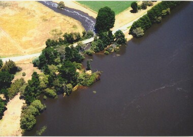
Colour photograph, Jan. 2011 Flood, Lake Bolac and Salt Creek
Jan. 2011 Flood. Debouchment from Lake Bolac into Salt Creek through the natural overflow (centre) and the channel (front left) dug in the 1920's. Photograph courtesy Bill Sharp.lake bolac, salt creek, flood, sharp.