Showing 10959 items matching " plan"
-
 Rutherglen Historical Society
Aperture Card microfilm, Victorian Land Tiltes Office, Parish Plan Beechworth (Duplicate)
Town layout of Beechworthcard with a single microfilm insertplan, town, boundries, lots, roads -
 Rutherglen Historical Society
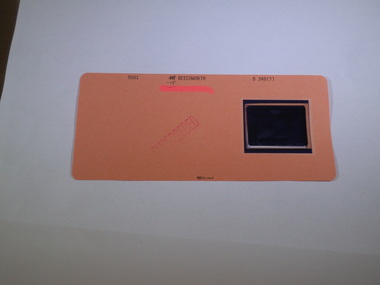
Aperture Card microfilm, Victorian Land Tiltes Office, Town Plan Beechworth
Town layout of Beechworthcard with a single microfilm insertplan, town, boundries, lots, roads -
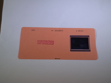
 Rutherglen Historical Society
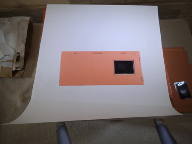
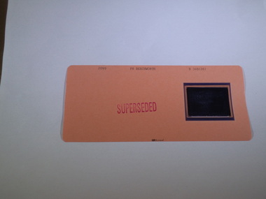
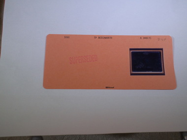
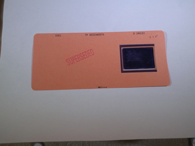
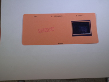
Aperture Card microfilm, Victorian Land Tiltes Office, Town Plan Beechworth (Superseded)
Town layout of Beechworthcard with a single microfilm insertplan, town, boundries, lots, roads -
 Rutherglen Historical Society
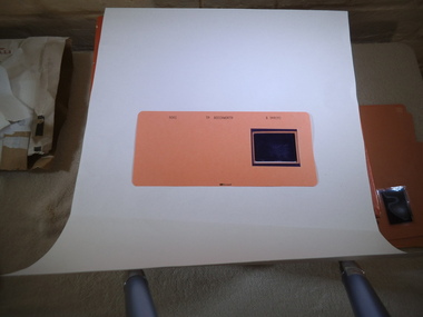
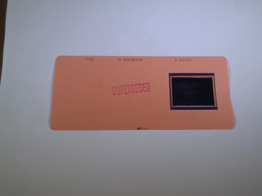
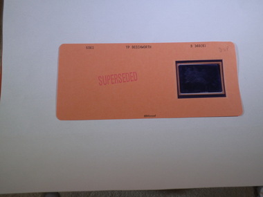
Aperture Card microfilm, Victorian Land Tiltes Office, Town Plan Beechworth (Superseded)
Town layout of Beechworthcard with a single microfilm insertplan, town, boundries, lots, roads -
 Rutherglen Historical Society
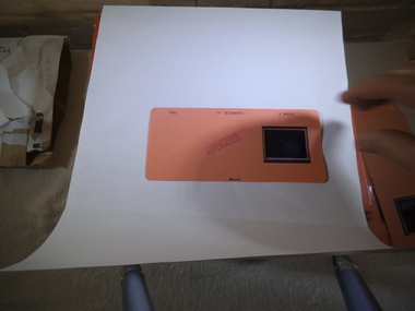
Aperture Card microfilm, Victorian Land Tiltes Office, Town Plan Beechworth (Superseded)
Town layout of Beechworthcard with a single microfilm insertplan, town, boundries, lots, roads -
 Rutherglen Historical Society
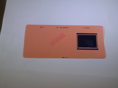
Aperture Card microfilm, Victorian Land Tiltes Office, Town Plan Beechworth (Superseded)
Town layout of Beechworthcard with a single microfilm insertplan, town, boundries, lots, roads -
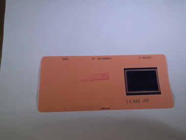
 Rutherglen Historical Society
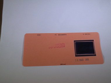
Aperture Card microfilm, Victorian Land Tiltes Office, Town Plan Beechworth (Superseded), 18/03/1999
Town layout of Beechworthcard with a single microfilm insertplan, town, boundries, lots, roads -
 Rutherglen Historical Society
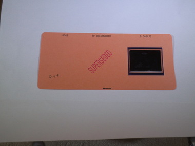
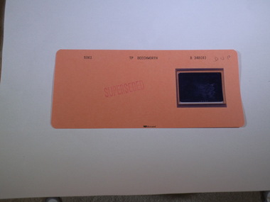
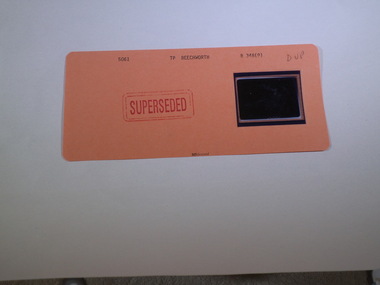
Aperture Card microfilm, Victorian Land Tiltes Office, Parish Plan Beechworth (Superseded)
Town layout of Beechworthcard with a single microfilm insertplan, town, boundries, lots, roads -
 Rutherglen Historical Society
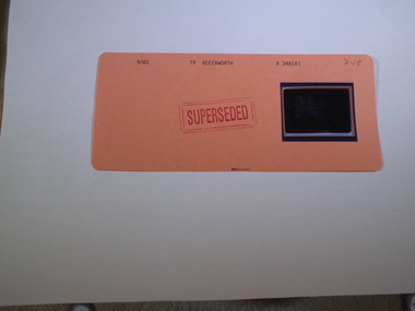
Aperture Card microfilm, Victorian Land Tiltes Office, Parish Plan Beechworth (Superseded)
Town layout of Beechworthcard with a single microfilm insertplan, town, boundries, lots, roads -
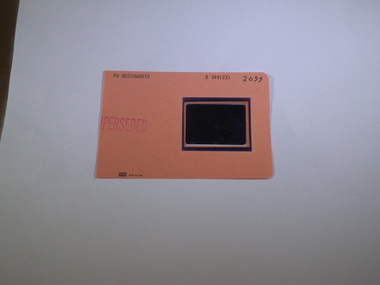
 Rutherglen Historical Society
Aperture Card microfilm, Victorian Land Tiltes Office, Parish Plan Beechworth (Superseded), 18/03/1999
Town layout of Beechworthcard with a single microfilm insertplan, town, boundries, lots, roads -
 Rutherglen Historical Society
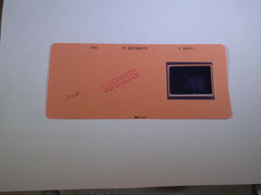
Aperture Card microfilm, Victorian Land Tiltes Office, Parish Plan Beechworth (Superseded)
Town layout of Beechworthcard with a single microfilm insertplan, town, boundries, lots, roads -
 Rutherglen Historical Society
Aperture Card microfilm, Victorian Land Tiltes Office, Parish Plan Beechworth (Superseded)
Town layout of Beechworthcard with a single microfilm insertplan, town, boundries, lots, roads -
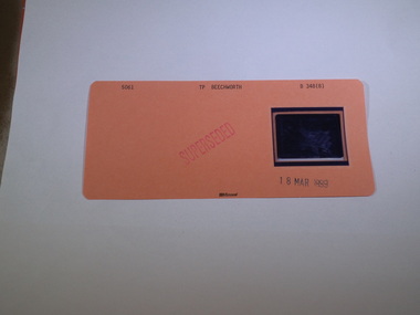
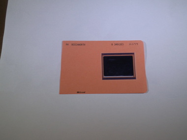
 Rutherglen Historical Society
Aperture Card microfilm, Victorian Land Tiltes Office, Town Plan Beechworth, June/1999
Town layout of Beechworthcard with a single microfilm insertplan, town, boundries, lots, roads -
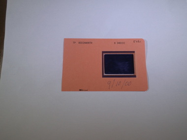
 Rutherglen Historical Society
Aperture Card microfilm, Victorian Land Tiltes Office, Town Plan Beechworth, 9/10/2000
Town layout of Beechworthcard with a single microfilm insertplan, town, boundries, lots, roads -
 Rutherglen Historical Society
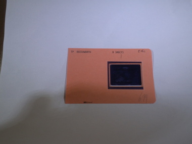
Aperture Card microfilm, Victorian Land Tiltes Office, Parish Plan Beechworth
Town layout of Beechworthcard with a single microfilm insertplan, town, boundries, lots, roads -
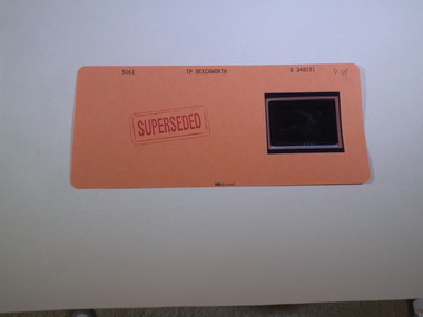
 Rutherglen Historical Society
Aperture Card microfilm, Victorian Land Tiltes Office, Parish Plan Beechworth (Superseded)
Town layout of Beechworthcard with a single microfilm insertplan, town, boundries, lots, roads -
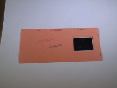
 Rutherglen Historical Society
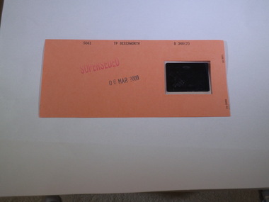
Aperture Card microfilm, Victorian Land Tiltes Office, Town Plan Beechworth (Superseded), 6/3/2000
Town layout of Beechworthcard with a single microfilm insertplan, town, boundries, lots, roads -
 Rutherglen Historical Society
Aperture Card microfilm, Victorian Land Tiltes Office, Town Plan Beechworth (Superseded)
Town layout of Beechworthcard with a single microfilm insertplan, town, boundries, lots, roads -
 Rutherglen Historical Society
Aperture Card microfilm, Victorian Land Tiltes Office, Town Plan Beechworth (Superseded)
Town layout of Beechworthcard with a single microfilm insertplan, town, boundries, lots, roads -
 Rutherglen Historical Society
Aperture Card microfilm, Victorian Land Tiltes Office, Town Plan Beechworth (Superseded)
Town layout of Beechworthcard with a single microfilm insertplan, town, boundries, lots, roads -
 Rutherglen Historical Society
Aperture Card microfilm, Victorian Land Tiltes Office, Town Plan Beechworth (Superseded)
Town layout of Beechworthcard with a single microfilm insertplan, town, boundries, lots, roads -
 Rutherglen Historical Society
Aperture Card microfilm, Victorian Land Tiltes Office, Town Plan Beechworth (Superseded)
Town layout of Beechworthcard with a single microfilm insertplan, town, boundries, lots, roads -
 Rutherglen Historical Society
Aperture Card microfilm, Victorian Land Tiltes Office, Town Plan Beechworth (Superseded)
Town layout of Beechworthcard with a single microfilm insertplan, town, boundries, lots, roads -
 Rutherglen Historical Society
Aperture Card microfilm, Victorian Land Tiltes Office, Town Plan Beechworth (Superseded)
Town layout of Beechworthcard with a single microfilm insertplan, town, boundries, lots, roads -
 Rutherglen Historical Society
Aperture Card microfilm, Victorian Land Tiltes Office, Town Plan Beechworth (Superseded)
Town layout of Beechworthcard with a single microfilm insertplan, town, boundries, lots, roads -
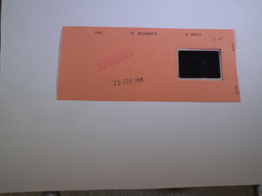
 Rutherglen Historical Society
Aperture Card microfilm, Victorian Land Tiltes Office, Town Plan Beechworth (Superseded), 25/02/2000
Town layout of Beechworthcard with a single microfilm insertplan, town, boundries, lots, roads -
 Rutherglen Historical Society
Aperture Card microfilm, Victorian Land Tiltes Office, Town Plan Beechworth (Superseded)
Town layout of Beechworthcard with a single microfilm insertplan, town, boundries, lots, roads -
 Rutherglen Historical Society
Aperture Card microfilm, Victorian Land Tiltes Office, Town Plan Beechworth (Superseded)
Town layout of Beechworthcard with a single microfilm insertplan, town, boundries, lots, roads -
 Rutherglen Historical Society
Aperture Card microfilm, Victorian Land Tiltes Office, Town Plan Beechworth
Town layout of Beechworthcard with a single microfilm insertplan, town, boundries, lots, roads -
 Rutherglen Historical Society
Aperture Card microfilm, Victorian Land Tiltes Office, Parish Plan Beechworth (Superceded)
Town layout of Beechworthcard with a single microfilm insertplan, town, boundries, lots, roads