Showing 10961 items matching "plan"
-
 Rutherglen Historical Society
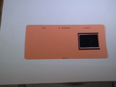
Aperture Card microfilm, Victorian Land Tiltes Office, Parish Plan Beechworth (Superceded)
Town layout of Beechworthcard with a single microfilm insertplan, town, boundries, lots, roads -
 Rutherglen Historical Society
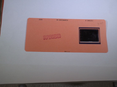
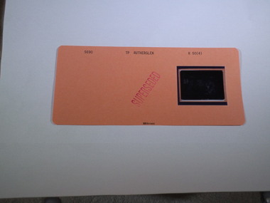
Aperture Card microfilm, Victorian Land Tiltes Office, Parish Plan Beechworth (Superceded)
Town layout of Beechworthcard with a single microfilm insertplan, town, boundries, lots, roads -
 Rutherglen Historical Society
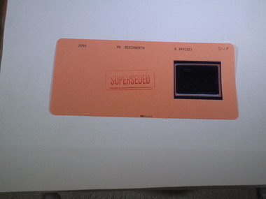
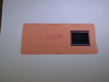
Aperture Card microfilm, Victorian Land Tiltes Office, Parish Plan Beechworth (Superceded)
Town layout of Beechworthcard with a single microfilm insertplan, town, boundries, lots, roads -
 Rutherglen Historical Society
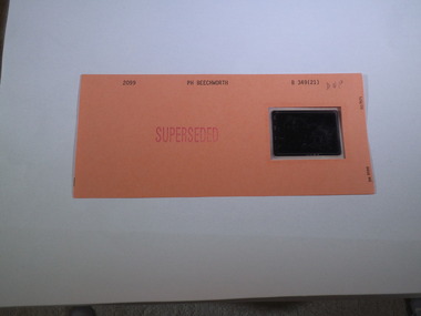
Aperture Card microfilm, Victorian Land Tiltes Office, Parish Plan Beechworth (Superceded)
Town layout of Beechworthcard with a single microfilm insertplan, town, boundries, lots, roads -
 Rutherglen Historical Society
Aperture Card microfilm, Victorian Land Tiltes Office, Parish Plan Beechworth (Superceded)
Town layout of Beechworthcard with a single microfilm insertplan, town, boundries, lots, roads -
 Rutherglen Historical Society
Aperture Card microfilm, Victorian Land Tiltes Office, Parish Plan Beechworth (Superceded)
Town layout of Beechworthcard with a single microfilm insertplan, town, boundries, lots, roads -
 Rutherglen Historical Society
Aperture Card microfilm, Victorian Land Tiltes Office, Parish Plan Beechworth (Superceded)
Town layout of Beechworthcard with a single microfilm insertplan, town, boundries, lots, roads -
 Rutherglen Historical Society
Aperture Card microfilm, Victorian Land Tiltes Office, Parish Plan Beechworth (Superceded)
Town layout of Beechworthcard with a single microfilm insertplan, town, boundries, lots, roads -
 Rutherglen Historical Society
Aperture Card microfilm, Victorian Land Tiltes Office, Parish Plan Beechworth (Superceded)
Town layout of Beechworthcard with a single microfilm insertplan, town, boundries, lots, roads -
 Rutherglen Historical Society
Aperture Card microfilm, Victorian Land Tiltes Office, Parish Plan Beechworth (Superceded)
Town layout of Beechworthcard with a single microfilm insertplan, town, boundries, lots, roads -
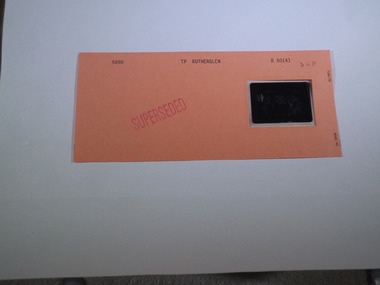 Rutherglen Historical Society
Aperture Card microfilm, Victorian Land Tiltes Office, Town Plan Rutherglen (Superceded)
Town layout of Beechworthcard with a single microfilm insertplan, town, boundries, lots, roads -
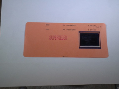
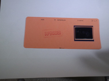 Rutherglen Historical Society
Aperture Card microfilm, Victorian Land Tiltes Office, Town Plan Rutherglen (Superceded)
Town layout of Beechworthcard with a single microfilm insertplan, town, boundries, lots, roads -
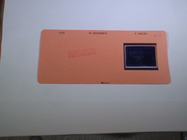
 Rutherglen Historical Society
Aperture Card microfilm, Victorian Land Tiltes Office, Town Plan Rutherglen (Superceded)
Town layout of Beechworthcard with a single microfilm insertplan, town, boundries, lots, roads -
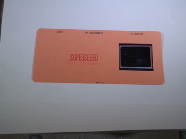
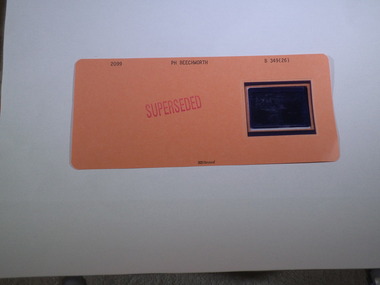
 Rutherglen Historical Society
Aperture Card microfilm, Victorian Land Tiltes Office, Town Plan Beechworth (Superceded)
Town layout of Beechworthcard with a single microfilm insertplan, town, boundries, lots, roads -
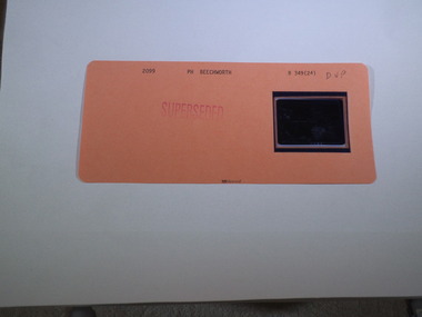
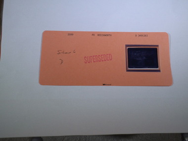
 Rutherglen Historical Society
Aperture Card microfilm, Victorian Land Tiltes Office, Town Plan Beechworth (Superceded)
Town layout of Beechworthcard with a single microfilm insertplan, town, boundries, lots, roads -
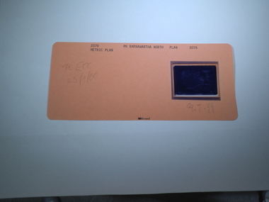 Rutherglen Historical Society
Aperture Card microfilm, Victorian Land Tiltes Office, Parish Plan Barnawartha North, 29/07/1999
Town layout of Barnawartha Northcard with a single microfilm insertplan, town, boundries, lots, roads -
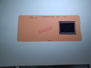
 Rutherglen Historical Society
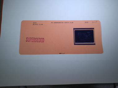
Aperture Card microfilm, Victorian Land Tiltes Office, Parish Plan Barnawartha North (Superseded)
Town layout of Barnawartha Northcard with a single microfilm insertplan, town, boundries, lots, roads -
 Rutherglen Historical Society
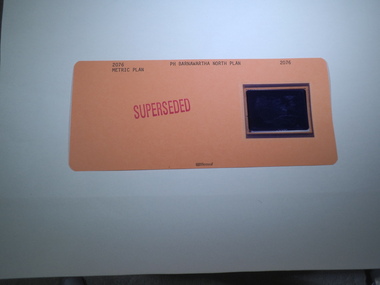
Aperture Card microfilm, Victorian Land Tiltes Office, Parish Plan Barnawartha North (Superseded)
Town layout of Barnawartha Northcard with a single microfilm insertplan, town, boundries, lots, roads -
 Rutherglen Historical Society
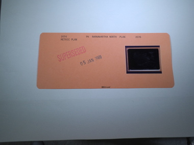
Aperture Card microfilm, Victorian Land Tiltes Office, Parish Plan Barnawartha North (Superseded), 5/01/2000
Town layout of Barnawartha Northcard with a single microfilm insertplan, town, boundries, lots, roads -
 Rutherglen Historical Society
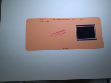
Aperture Card microfilm, Victorian Land Tiltes Office, Parish Plan Barnawartha North (Superseded)
Town layout of Barnawartha Northcard with a single microfilm insertplan, town, boundries, lots, roads -
 Rutherglen Historical Society
Aperture Card microfilm, Victorian Land Tiltes Office, Parish Plan Barnawartha North (Superseded)
Town layout of Barnawartha Northcard with a single microfilm insertplan, town, boundries, lots, roads -
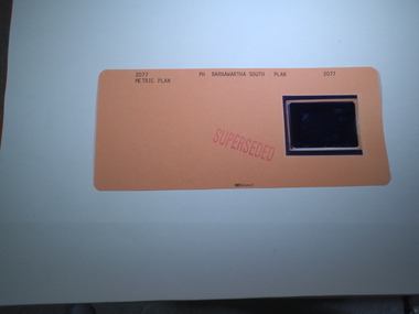 Rutherglen Historical Society
Aperture Card microfilm, Victorian Land Tiltes Office, Parish Plan Barnawartha South (Superseded)
Town layout of Barnawartha Southcard with a single microfilm insertplan, town, boundries, lots, roads -
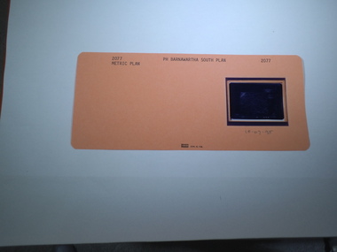 Rutherglen Historical Society
Aperture Card microfilm, Victorian Land Tiltes Office, Parish Plan Barnawartha South, 18/07/1995
Town layout of Barnawartha Southcard with a single microfilm insertplan, town, boundries, lots, roads -
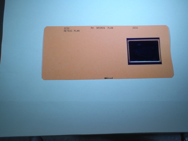 Rutherglen Historical Society
Aperture Card microfilm, Victorian Land Tiltes Office, Parish Plan Brimin
Town layout of Brimincard with a single microfilm insertplan, town, boundries, lots, roads -
 Rutherglen Historical Society
Aperture Card microfilm, Victorian Land Tiltes Office, Parish Plan Carlyle
Town layout of Carlylecard with a single microfilm insertplan, town, boundries, lots, roads -
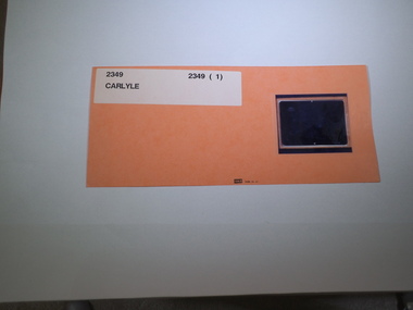
 Rutherglen Historical Society
Aperture Card microfilm, Victorian Land Tiltes Office, Parish Plan Carlyle
Town layout of Carlylecard with a single microfilm insertplan, town, boundries, lots, roads -
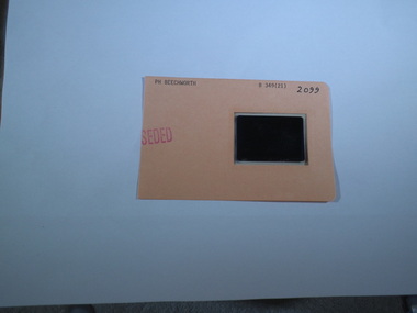
 Rutherglen Historical Society
Aperture Card microfilm, Victorian Land Tiltes Office, Parish Plan Carlyle (Superseded)
Town layout of Carlylecard with a single microfilm insertplan, town, boundries, lots, roads -
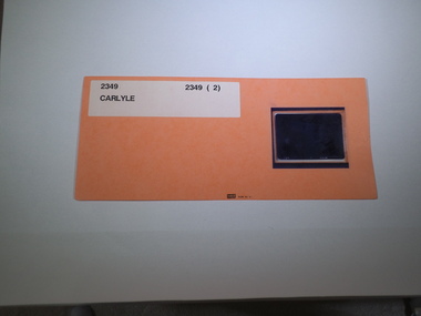
 Rutherglen Historical Society
Aperture Card microfilm, Victorian Land Tiltes Office, Parish Plan Carlyle (Superseded)
Town layout of Carlylecard with a single microfilm insertplan, town, boundries, lots, roads -
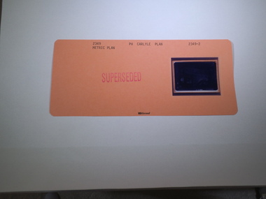
 Rutherglen Historical Society
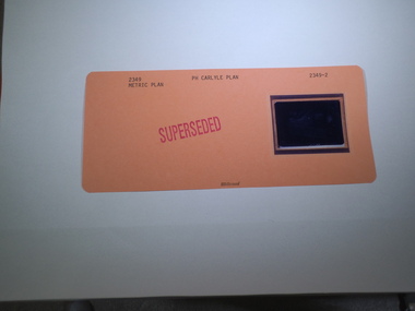
Aperture Card microfilm, Victorian Land Tiltes Office, Parish Plan Carlyle (Superseded)
Town layout of Carlylecard with a single microfilm insertplan, town, boundries, lots, roads -
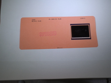
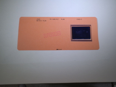 Rutherglen Historical Society
Aperture Card microfilm, Victorian Land Tiltes Office, Parish Plan Carlyle (Superseded)
Town layout of Carlylecard with a single microfilm insertplan, town, boundries, lots, roads