Showing 2897 items matching "australian maps"
-
 Federation University Historical Collection
Newspaper, Overland Telegraph Centenary, 1972, 1972
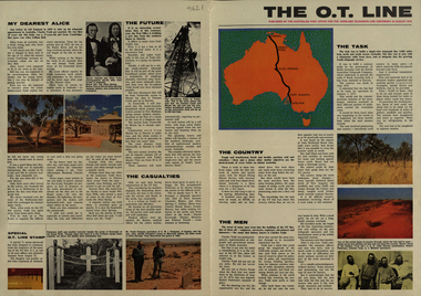
.1) Overland Centenary Supplement to The Australian. Six pages of information and images including the Roper River Camp, First Telegraph Pole at Port Darwin, Route of the Overland Telegraph, Australian Telecommunications Development Association, Alice Springs, Frew's Ponds. Charles Todd, Alice ToddFrank Kraegen, Pony Express. .2) 'The O.T. Line' - four page coloured news shhet published of by the Australian Post Office for the Overland Telegraph Line Centenary, 22 August 1972. Includes articles and images such as J.A.G. Little (Darwin Poatmaster), Robert Patterson, Charles Todd, A.J. Mitchell (surveyor), Maps of the sections (Begot's contract, Central Sections, Darwent and Dalwood contract, Patterson contract), planting of the first pole at Darwin, Roper River Camp, Charles Todd, Alice Todd, Alice Springs Repeater Station, Grave of Kavenagh, Roper River, Frank Kraegem, Maryvale station.roper river camp, telegraph pole, port darwin, overland telegraph route, australian telecommunications development association, alice springs, frew's ponds, charles todd, alice todd, frank kraegen, pony express -
 Federation University Historical Collection
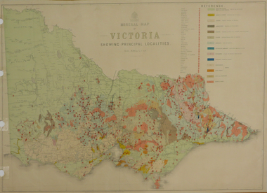
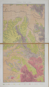
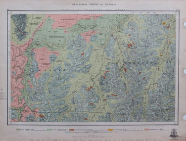
Map, Department of Mines - Victoria, Geological Map of Victoria, 1936, 1936
Printed colour geological map of Victoria.victoria, geology, map, geological map -
 Federation University Historical Collection
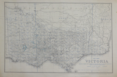
Map, Key Map of Victoria, 1917, 13/12/1917
Printed colour mapvictoria -
 Federation University Historical Collection
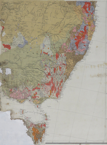
Map, South East Australia, not dated
... Australia Map Map ...Printed colour maptasmania, new south wales, victoria -
 Federation University Historical Collection
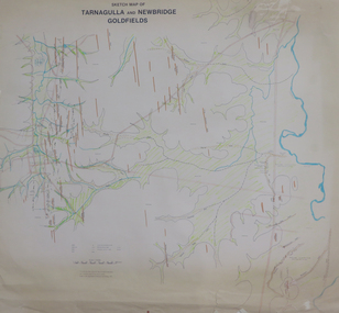
Plan, Sketch Map of Tarnagulla and Newbridge Goldfields, 1979, 1979
Pmap on paper with hand colouringtarnagulla, newbridge, map -
 Federation University Historical Collection
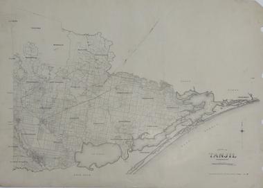
Map, County of Tanjil, 23/11/1906
Printed map on papertanjil -
 Federation University Historical Collection
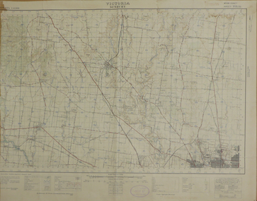
Map, Sunbury, 1938
Printed colour map on papersunbury -
 Federation University Historical Collection
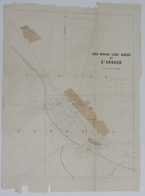
Map, Gold Mining Lease Blocks at St Arnaud, not dated
Printed map on paper with shadingst arnaud, lexell creek, st arnaud creek, wilsons hill, lord nelson -
 Federation University Historical Collection
Map, Stawell, Victoria, 1878
Printed colour map on paper, edged in masking tape stawell, e.r. morris, william collard smith -
 Federation University Historical Collection
Map, Sorrento, 1931, 03/1931
Printed colour map on paper showing Sorrento and surroundssorrento, point nepean, point lonsdale, queenscliff, port phillip bay -
 Federation University Historical Collection
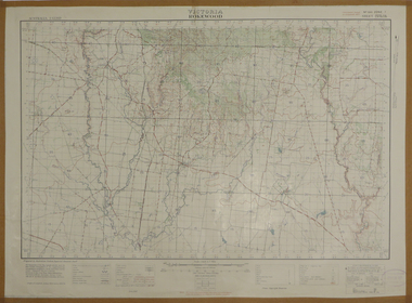
Map, Rokewood, 1937, 02/1937
printed colour map on paperrokewood, illabrook, woady yaloak river -
 Federation University Historical Collection
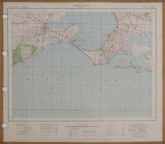
Map, Queenscliff, 1942, 1942
Two copies of printed colour map on paper showing Queenscliff and surrounds"This map in an official document, if found, it must be handed in to the nearest military headquarters or police station."queenscliff, portsea, point nepean, point lonsdale, barwon heads, geelong, corio bay, port phillip bay -
 Federation University Historical Collection
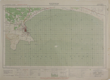
Map, Portland, 1942, 1942
Printed colour map on paper"This map is an official document. If found, it must be handed in to the nearest military headquarters or police. porland, cape nelson, lawrence rock, point danger, whaler's point -
 Federation University Historical Collection
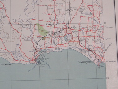
Map, Portland, 1941, 1941
Printed colour map on paperportland, port fairy, warrnambool, kirkstall, crossley, koroit, tower hill, woolsthorp -
 Federation University Historical Collection
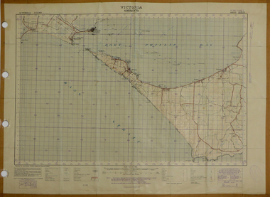
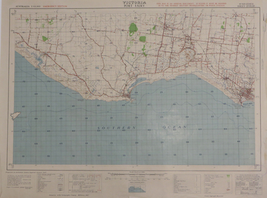
Map, Port Fairy, 1942
Printed colour mapport fairy, tower hill, killarney, armstrong bay, crossley, southern cross, kirkstall -
 Federation University Historical Collection
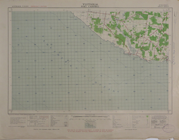
Map, Port Campbell, 1942, 1942
Printed colour map on paperport campbell -
 Federation University Historical Collection
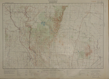
Map, Meredith, 1936, 08/1936
Printed colour mapmeredith, lethbridge, steiglitz, little river -
 Federation University Historical Collection
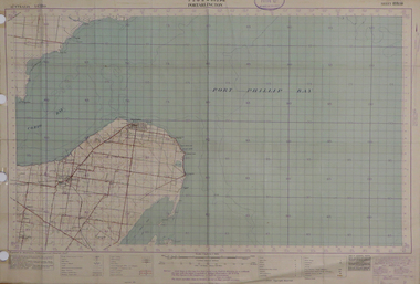
Map, Portarlington, 1929, 09/1929
Printed colour mapport arlington, corio bay, port phillip bay, clifton springs, swan bay, swan island, duck island, point wilson -
 Federation University Historical Collection
Map, Panmure, 1942, 1942
Printed colour map on paperpanmure, garvoc, curdie, allansford, bushfield, hopkins river -
 Federation University Historical Collection
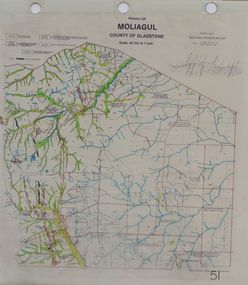
Map, Moliagul
printed map with hand colouringmoliagul, welcome stranger nugget -
 Federation University Historical Collection
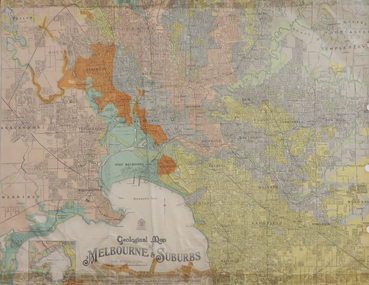
Map, Geological Map of Ascot, 1937, 1937
Coloured plan of Melbourne and suburbs.melbourne, geological, geology, caulfield, brighton, box hill, camberwell, richmond, prahran, st kilda, brunswick, coburg, keilor, braybrook, kew, hawthorn, northcote, williamstown, south melbourne -
 Federation University Historical Collection
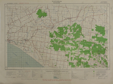
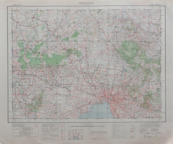
Map, Melbourne, 1943, 1943
2 copies of printed colour map on papermelbourne -
 Federation University Historical Collection
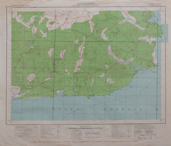
Map, Mallacoota, 1942, 1942
Printed colour map on paperThis map is an official document, if found, it must be handed in to the nearest military headquarters or police stationmallacoota, bass straight, cape evarard, cann river, genoa river, disaster bay -
 Federation University Historical Collection
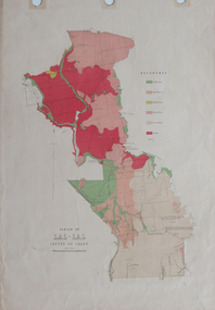
Plan, Parish of Lal-Lal County of Grant
Printed colour map on paperlal lal, mt doran, lal lal racecourse, geology, geological, moorabool river, mount duran -
 Federation University Historical Collection
Map, Geological Survey of Victoria, 1913
Printed colour map on papervictoria, geological survey of victoria, gladstone, talbot -
 Federation University Historical Collection
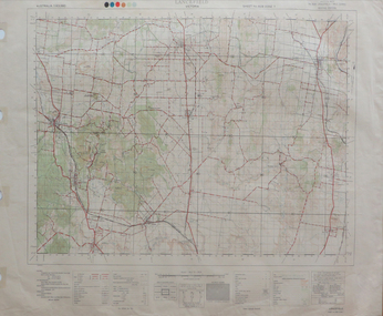
Map, Lancefield, 1947
Printed coloured map on paperlancefield -
 Federation University Historical Collection
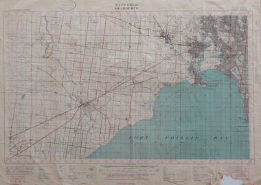
Map, Melbourne, Victoria, 1933
Printed colour map.melbourne, port phillip bay, werribee river, werribee, port melbourne, hobson's bay -
 Federation University Historical Collection
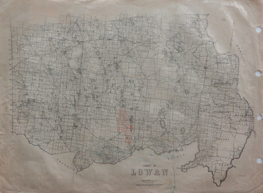
Maps, County of Lowan, 1930
Printed maps on paper backed onto linen: .1) County of Lowan .2) Weeahlowan -
 Federation University Historical Collection
Report, Report of Period with Central Electricity Generating Board (Including C.I.G.R.E. Conference), May-August 1958, 1958
Graham Beanland is a former Principal of the Ballarat SChool of Mines. Typed report by Graham H. Beanland. Includes maps showing generating stations and transmission lines, diagramatic layout of grid, 275 KV Developmentgraham beanland, electricity, electricity generating, central electricity generating board -
 Federation University Historical Collection
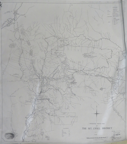
Map, Geological Sketch Map of the Mount Lyell District, 1935, 25-09-1935
Copy of a plan showing mining leases around Mount Lyell, Tasmania.mount lyell, queenstown, mining, king river