Showing 1403 items
matching lower plenty, main road
-
 Eltham District Historical Society Inc
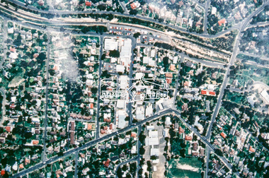
Slide - Photograph, Aerial Photo (c.1987): Were Street, Montmorency, c.Aug. 1990
Part of a presentation, "Roads and Byways of the Shire of Eltham", by Russell Yeoman to the 12 September 1990 Society meeting. Slides shown included copies of old photos and recent images ranging from the suburban streets of Eltham and Montmorency to the mountain roads of Kinglake. In the byways category are views of some iof the Shire's bicycle paths including then recently completed sections of the Main Yarra Trail at Lower Plenty.35mm colour positive transparency (1 of 37) Mount - Agfachrome Agfa CS System black 8 dotsinfrastructure, roads, aerial photographs, montmorency, were street -
 Eltham District Historical Society Inc
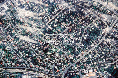
Slide - Photograph, Aerial Photo (c.1987): Montmorency, north of railway, c.Aug. 1990
Part of a presentation, "Roads and Byways of the Shire of Eltham", by Russell Yeoman to the 12 September 1990 Society meeting. Slides shown included copies of old photos and recent images ranging from the suburban streets of Eltham and Montmorency to the mountain roads of Kinglake. In the byways category are views of some iof the Shire's bicycle paths including then recently completed sections of the Main Yarra Trail at Lower Plenty.35mm colour positive transparency (1 of 37) Mount - Agfachrome Agfa CS System black 8 dotsinfrastructure, roads, aerial photographs, montmorency -
 Eltham District Historical Society Inc
Slide - Photograph, Army Map, Yan Yean (Part, 1934), c.Aug. 1990
Part of a presentation, "Roads and Byways of the Shire of Eltham", by Russell Yeoman to the 12 September 1990 Society meeting. Slides shown included copies of old photos and recent images ranging from the suburban streets of Eltham and Montmorency to the mountain roads of Kinglake. In the byways category are views of some iof the Shire's bicycle paths including then recently completed sections of the Main Yarra Trail at Lower Plenty.35mm colour positive transparency (1 of 37) Mount - Agfachrome Agfa CS System black 8 dotsinfrastructure, roads, map, shire of eltham -
 Eltham District Historical Society Inc
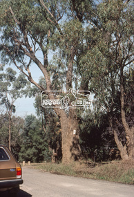
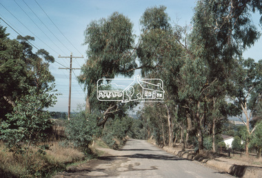
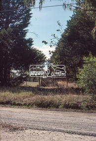
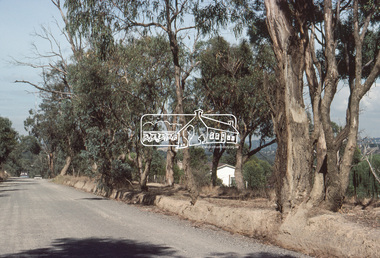
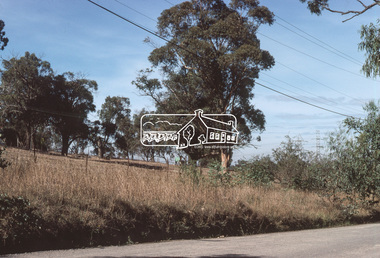
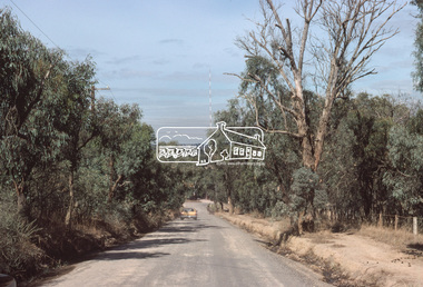
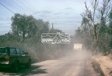
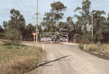
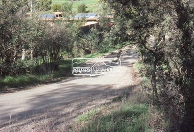
Slide, Main Road, Lower Plenty, 25 Jul 1973
... Main Road, Lower Plenty... at Bolton Street. Main Road, Lower Plenty underwent substantial... at Bolton Street. Main Road, Lower Plenty underwent substantial ...This section of Main Road was known by locals as the "Windy Mile" due to its many little wists and turns. It was also the setting for Billy Cart derbies held on special occassions such as the Eltham Easter Gymkhana at Eltham Lower Park. Contestants would line up and race each other down the hill to the finish line at Bolton Street. Main Road, Lower Plenty underwent substantial changes when it was duplicated with the road becoming two lanes each way and split level due to the cross gradient. This particular section running down the hill from Panorama Avenue to Bolton Street with its twists and turns had many of them straightened out during the road widening constuction work.35 mm colour positive transparency Mount - Agfacolor Service (Blue)main road, infrastructure, lower plenty, roads, windy mile -
 Eltham District Historical Society Inc
Slide, Bonds Road, Lower Plenty, Mar. 1981
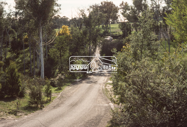
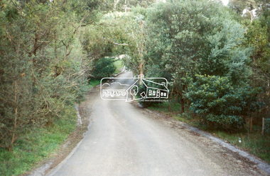
One of a series of images of road infrastructure focussed on Bonds Road, Lower Plenty, the section connecting Old Eltham Road with Rosehill Road, taken by Eltham Shire Council Planning and Engineering officers. They provide perspective of the changes in housing styles and road development that began sweeping in from the mid 1970s with increasing urbanisation of what was once more outlying suburbs and regions. All images have been identified with GPS35 mm colour positive transparency (1 of 13) Mount - Kodak Kodachrome CardProcessed Mar 1981infrastructure, roads, bonds road, lower plenty, old eltham road -
 Eltham District Historical Society Inc
Slide, Bonds Road, Lower Plenty, Mar. 1981
One of a series of images of road infrastructure focussed on Bonds Road, Lower Plenty, the section connecting Old Eltham Road with Rosehill Road, taken by Eltham Shire Council Planning and Engineering officers. They provide perspective of the changes in housing styles and road development that began sweeping in from the mid 1970s with increasing urbanisation of what was once more outlying suburbs and regions. All images have been identified with GPS35 mm colour positive transparency (1 of 13) Mount - Kodak Kodachrome CardProcessed Mar 1981infrastructure, roads, bonds road, lower plenty -
 Eltham District Historical Society Inc
Slide, Bonds Road, Lower Plenty, Mar. 1981
One of a series of images of road infrastructure focussed on Bonds Road, Lower Plenty, the section connecting Old Eltham Road with Rosehill Road, taken by Eltham Shire Council Planning and Engineering officers. They provide perspective of the changes in housing styles and road development that began sweeping in from the mid 1970s with increasing urbanisation of what was once more outlying suburbs and regions. All images have been identified with GPS35 mm colour positive transparency (1 of 13) Mount - Kodak Kodachrome CardProcessed Mar 1981infrastructure, roads, bonds road, lower plenty, rosehill road -
 Eltham District Historical Society Inc
Slide, Bonds Road, Lower Plenty, Mar. 1981
One of a series of images of road infrastructure focussed on Bonds Road, Lower Plenty, the section connecting Old Eltham Road with Rosehill Road, taken by Eltham Shire Council Planning and Engineering officers. They provide perspective of the changes in housing styles and road development that began sweeping in from the mid 1970s with increasing urbanisation of what was once more outlying suburbs and regions. All images have been identified with GPS35 mm colour positive transparency (1 of 13) Mount - Kodak Kodachrome CardProcessed Mar 1981infrastructure, roads, bonds road, lower plenty -
 Eltham District Historical Society Inc
Slide, Bonds Road, Lower Plenty, Mar. 1981
One of a series of images of road infrastructure focussed on Bonds Road, Lower Plenty, the section connecting Old Eltham Road with Rosehill Road, taken by Eltham Shire Council Planning and Engineering officers. They provide perspective of the changes in housing styles and road development that began sweeping in from the mid 1970s with increasing urbanisation of what was once more outlying suburbs and regions. All images have been identified with GPS35 mm colour positive transparency (1 of 13) Mount - Kodak Kodachrome CardProcessed Mar 1981infrastructure, roads, bonds road, lower plenty, old eltham road -
 Eltham District Historical Society Inc
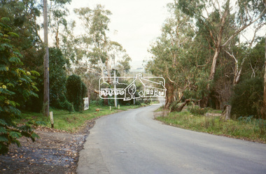
Slide, Old Eltham Road, Lower Plenty, Jun. 1981
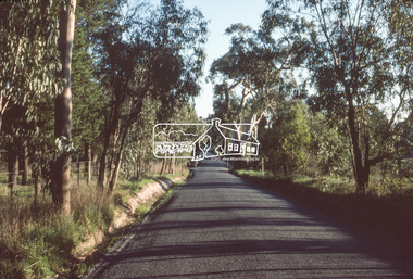
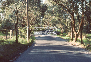
Roll of film taken by Eltham Shire Council officers specifically focussed on road infrastructure and maintenance. Many roads of the shire were only relatively recently sealed towards the late 1980s/early 1990s.35 mm colour positive transparency (1 of 8) Mount - Kodak Kodachrome CardProcessed July 1981infrastructure, roads, lower plenty, old eltham road, road sealing -
 Eltham District Historical Society Inc
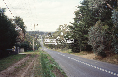
Slide, Old Eltham Road, Lower Plenty, c. Jan 1983
Roll of film taken by Eltham Shire Council officers specifically focussed on road infrastructure and maintenance. Many roads of the shire were only relatively recently sealed towards the late 1980s/early 1990s.35 mm colour positive transparency (1 of 8) Mount - Kodak Kodachrome CardProcessed July 1981infrastructure, roads, lower plenty, old eltham road, road sealing -
 Eltham District Historical Society Inc
Slide, Riverhill Drive, Lower Plenty, Jun. 1981
Roll of film taken by Eltham Shire Council officers specifically focussed on road infrastructure and maintenance. Many roads of the shire were only relatively recently sealed towards the late 1980s/early 1990s.35 mm colour positive transparency (1 of 8) Mount - Kodak Kodachrome CardProcessed July 1981infrastructure, roads, lower plenty, riverhill drive -
 Eltham District Historical Society Inc
Slide, Cleveland Avenue, Lower Plenty, May 1983
One of a series of images of roads and infrastructure taken by Eltham Shire Council Planning and Engineering officers, May 1983 specifically looking at Private Street Schemes post road construction/sealing operations35 mm colour positive transparency (1 of 21) Mount - Kodak Kodachrome Cardroads, infrastructure, road sealing, cleveland avenue, footpaths and gutters, lower plenty, private street scheme -
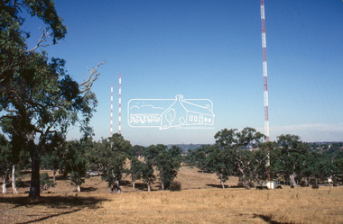 Eltham District Historical Society Inc
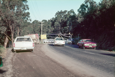
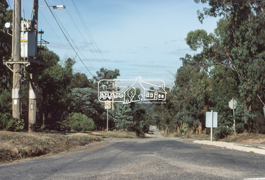
Slide - Photograph, Red Gums, Stawell Road, Lower Plenty, c. 1988
35mm colour positive transparency Mount - Black and Whitelower plenty, radio transmission tower, significant trees, stawell road -
 Eltham District Historical Society Inc
Slide - Photograph, Old Eltham Road, Lower Plenty, c.June 1990
35mm colour positive transparency (1 of 36) Mount - Agfa CS System grey 8 dotsroads, old eltham road, lower plenty -
 Eltham District Historical Society Inc
Slide - Photograph, Rosehill Road, Lower Plenty, c.June 1990
... melbourne roads lower plenty Rosehill Road 35mm colour positive ...35mm colour positive transparency (1 of 36) Mount - Agfa CS System grey 8 dotsroads, lower plenty, rosehill road -
 Eltham District Historical Society Inc
Slide - Photograph, Riverhill Drive, Lower Plenty, c.June 1990
... melbourne roads lower plenty Riverhill Drive 35mm colour positive ...35mm colour positive transparency (1 of 36) Mount - Agfa CS System grey 8 dotsroads, lower plenty, riverhill drive -
 Eltham District Historical Society Inc
Slide - Photograph, Rosehill Road, Lower Plenty, c.June 1990
... melbourne roads lower plenty Rosehill Road 35mm colour positive ...35mm colour positive transparency (1 of 36) Mount - Agfa CS System grey 8 dotsroads, lower plenty, rosehill road -
 Eltham District Historical Society Inc
Slide - Photograph, Lees Road, Lower Plenty, c.May1990
35mm colour positive transparency (1 of 25) Mount - Kodak EktachromeProcessing Date Code Jun 90Mroads, lees road, para road -
 Eltham District Historical Society Inc
Slide - Photograph, Shalbury Avenue, Eltham, c.Aug. 1990
Part of a presentation, "Roads and Byways of the Shire of Eltham", by Russell Yeoman to the 12 September 1990 Society meeting. Slides shown included copies of old photos and recent images ranging from the suburban streets of Eltham and Montmorency to the mountain roads of Kinglake. In the byways category are views of some iof the Shire's bicycle paths including then recently completed sections of the Main Yarra Trail at Lower Plenty.35mm colour positive transparency (1 of 37) Mount - Agfachrome Agfa CS System black 8 dotseltham, infrastructure, shalbury avenue