Showing 1639 items
matching fairy
-
 Port Fairy Historical Society Museum and Archives
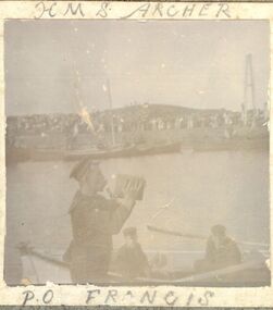
Photograph, H.M.S. Archer, Cutter
H.M.S. Archer, CutterBlack and white photographdefence, cutter, archer -
 Port Fairy Historical Society Museum and Archives
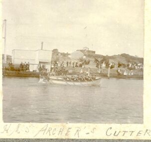
Photograph, H.M.S.Archer, Cutter
H.M.S.Archer, CutterBlack and white Photographdefence, cutter, archer -
 Port Fairy Historical Society Museum and Archives
Photograph
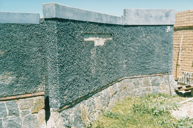
AMENITIES East Beach DETAILeast beach, amenities, toilet block, port fairy -
 Port Fairy Historical Society Museum and Archives
Photograph
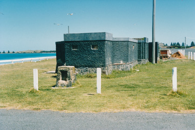
Amenities East Beach toilet, amenities, east beach, car park -
 Port Fairy Historical Society Museum and Archives
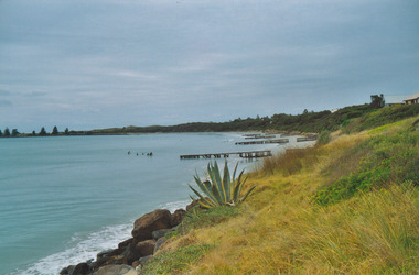
Photograph
East Beach Groyne wallseast beach, groyne, dune, sea, ocean -
 Port Fairy Historical Society Museum and Archives
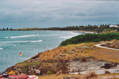
Photograph
East Beach looking Southeast beach, dune, sea, ocean, life saving, equipment, rubber boat, path -
 Port Fairy Historical Society Museum and Archives
Photograph
East Beach looking Northeast beach, barriers, path -
 Port Fairy Historical Society Museum and Archives
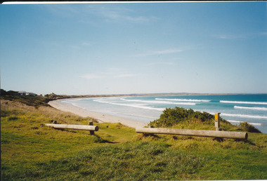
Photograph
East Beach looking Southeast beach, norfolk pines, dune, ocean, sea -
 Port Fairy Historical Society Museum and Archives
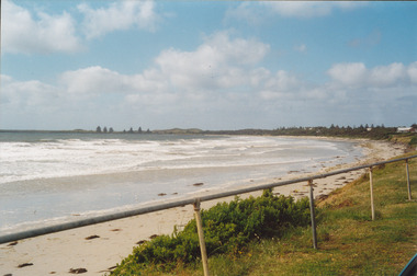
Photograph
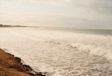
East Beach looking Northeast beach, sea, rough, ocean, dune, tide -
 Port Fairy Historical Society Museum and Archives
Photograph
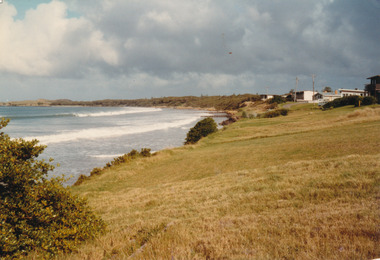
East Beach looking South June 1983east beach, groins, houses, marram grass, dune, 1983 -
 Port Fairy Historical Society Museum and Archives
Photograph
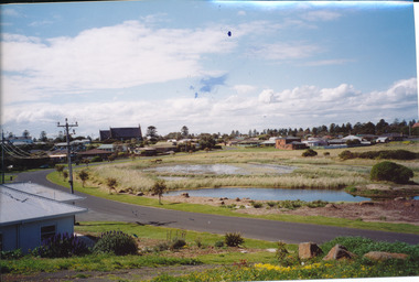
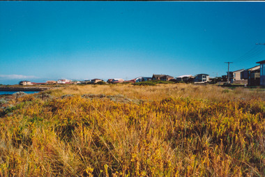
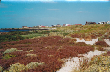
South Beach Powling Wetlands environmental 20/10/2003south beach, environment, wetlands, powling wetlands, 2003 -
 Port Fairy Historical Society Museum and Archives
Photograph
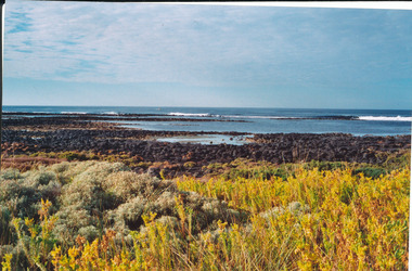
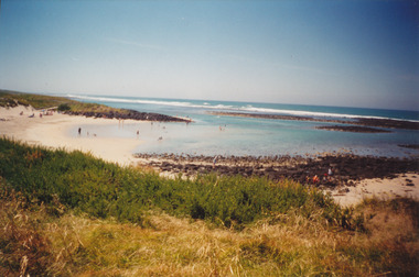
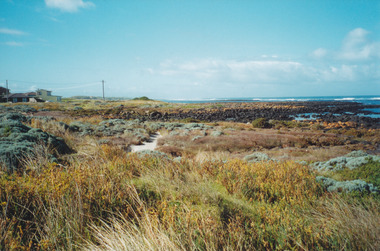
South Beach 2000south beach, 2000, rocks, ocean, sea, dune -
 Port Fairy Historical Society Museum and Archives
Photograph
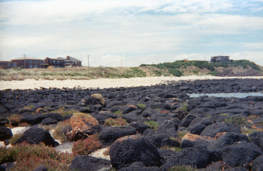
South Beach south beach, rocks, bluestone, reef -
 Port Fairy Historical Society Museum and Archives
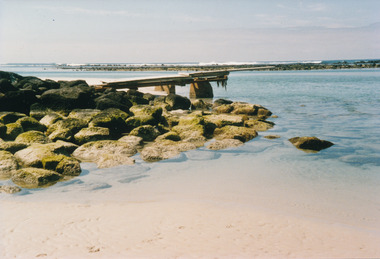
Photograph
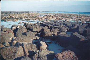
South Beach reef, bluestone, rocks, sea, ocean -
 Port Fairy Historical Society Museum and Archives
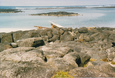
Photograph, 02.12.2000
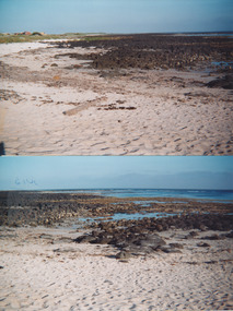
South beach reefs of bluestone rock Two coloured photographs of South Beachsouth beach, rocks, bluestone, sea, ocean -
 Port Fairy Historical Society Museum and Archives
Photograph
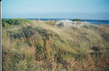
South Beach south beach, marram grass, dune, ocean, sea -
 Port Fairy Historical Society Museum and Archives
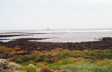
Photograph
South Beach tall shipsouth beach, ship, sea, ocean, reef, rocks -
 Port Fairy Historical Society Museum and Archives
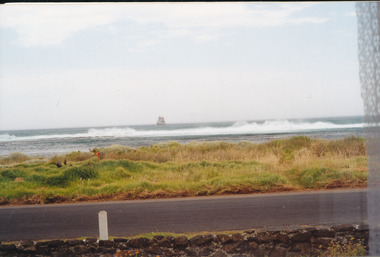
Photograph
South Beach tall shipsouth beach, ship, sea, ocean, rocks, bluestone -
 Port Fairy Historical Society Museum and Archives
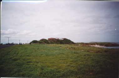
Photograph
South Beach house on hill south beach, house, hill, ocean drive -
 Port Fairy Historical Society Museum and Archives
Photograph
Pea soup South beachColoured photograph pea soup, south beach, rocks, ocean, sea -
 Port Fairy Historical Society Museum and Archives
Photograph
South beach Pea SoupColoured photograph pea soup, south, beach, sand -
 Port Fairy Historical Society Museum and Archives
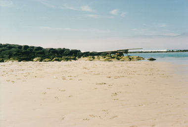
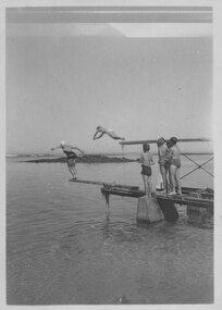
Photograph
South beach diving boardsouth beach, diving, board, sea, ocean, rocks, reef -
 Port Fairy Historical Society Museum and Archives
Photograph
South beach diving boardsouth beach, diving, board, sea, reef, ocean -
 Port Fairy Historical Society Museum and Archives
Photograph
South beach diving boardsouth beach, diving, board, rocks, bluestone -
 Port Fairy Historical Society Museum and Archives
Photograph, South beach
south beach rocks -
 Port Fairy Historical Society Museum and Archives
Photograph, South beach
south beach rocks -
 Port Fairy Historical Society Museum and Archives
Photograph, South beach
south beach rocks -
 Port Fairy Historical Society Museum and Archives
Photograph, South beach
south beach rocks -
 Port Fairy Historical Society Museum and Archives
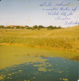
Photograph
Powling wet lands before being protectedState school and water hole of wild black ducks 11 chickswetlands, powling, avery street, water -
 Port Fairy Historical Society Museum and Archives
Photograph
South Beach diving boardssouth beach, diving, board, rocks, sea