Showing 10893 items
matching land
-
 4th/19th Prince of Wales's Light Horse Regiment Unit History Room
Magazine Publication, Army Magazine, ARMY, 1945
"ARMY" Magazine for Feb-March 1945 dealing with Australian troops in the Pacific war, with photos and mapsWW2, Pacific -
4th/19th Prince of Wales's Light Horse Regiment Unit History Room
Magazine Publication, Army Magazine, ARMY, Jan 1945
"ARMY" magazine, Vol 5 Number 2, January 1945, covering Australian troops in Pacific war of WW2, with maps and photos -
4th/19th Prince of Wales's Light Horse Regiment Unit History Room
Book, Craig A J Stockings, The Making and Breaking of the Post-Federation Australian Army, 1901-09, July 2007
Soft covered book of 120 pagesStudy Paper No 311 ISSN 1442-8547 -
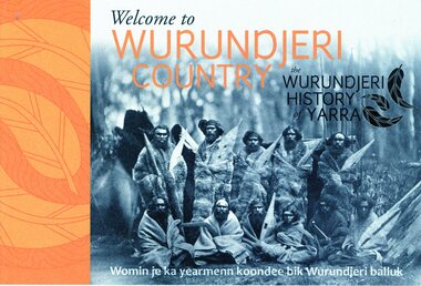 Greensborough Historical Society
Booklet, Emily Fitzgerald et al, Welcome to Wurundjeri country: the Wurundjeri history of Yarra, 2014
Brief history of the Wurundjeri-willam people of the area now known as the City of Yarra, from pre-settlement times to the present.44p., paperback, printed in black and orange, illus.wurundjeri willam, city of yarra, aborigines - victoria -
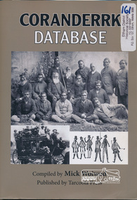 Eltham District Historical Society Inc
Book, Tarcoola Press, Coranderrk Database compiled by Mick Woiwod, 2012
Database of information on Coranderrk 1835 to 1995.Winner of the Local History Project Award (for activities that enhance access to records of significance to local communities) as part of the Victorian Community History Awards 2012 242 pages : illustrations ; 30 cm + 1 CD-ROM (4 3/4 in.) PDF, Word files.ISBN 9780987157416green, john., bon, anne fraser, 1838-1936., coranderrk aboriginal station. -
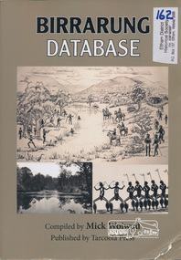 Eltham District Historical Society Inc
Book, Tarcoola Press, Birrarung Database compiled by Mick Woiwod, 2012
Sister publication to "Coranderrk database". This is a compilation of Mick Woiwod's research material, gathered over many years with information on the history of the Wurundjeri people of the Yarra Valley, from the time of first European contact. The publication runs in excess of 140,000 words. Its prime focus is the Yarra River as it has been understood by its Wurundjeri people. Includes a compilation of those difficult to locate "brief snatches of the action" collated under headings with in each instance, the provenance as to source and / or author included. Themes include: agriculture, law, ceremony, language, reconciliation, retribution, lifestyle, art & craft, climate, personalities, disease, death and the river's flora and fauna.318 pages : illustrations, maps ; 30 cm + 1 CD-ROM (4 3/4 in.) PDF or Microsoft Office Word 97-2003.ISBN 9780987157423wurundjeri, yarra river, indigenous history -
Tatura Irrigation & Wartime Camps Museum
Map, Department of Land and Survey, County of Rodney
Early county maps.One original map of County of Rodney and 3 photo copies. Original and one copy in colour. 2 copies in black and white. county of rodney -
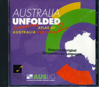 Victorian Aboriginal Corporation for Languages
CD-ROM, Australian Surveying and Land Information Group, Australia unfolded : interactive atlas of Australia, 1996
Systems requirements: Macintosh version: Mac Plus (68030 or higher recommended), 5 MB hard disk space, 2 MB RAM (4 MB RAM recommended), CD-ROM drive, mouse, System 7 or above. "9314231106006"--CD-ROM. System requirements: Windows version: IBM compatible 386 or higher, 5MB hard disk space, 4MB RAM (8MB RAM recommended), VGA monitor, CD-ROM drive, mouse, Windows 3.1 or above. In box (19 x 27 x 5 cm.).CD-ROMtopographic maps, australian maps, surveying -
Creswick Campus Historical Collection - University of Melbourne
Ephemera, Institute of Land and Food Resoures
Card and message holder for office useEquipment -
 Rutherglen Historical Society
Aperture Card microfilm, Victorian Land Tiltes Office, Town Plan Carlyle
Town layout of Carlylecard with a single microfilm insertplan, town, boundries, lots, roads -
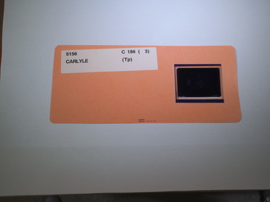
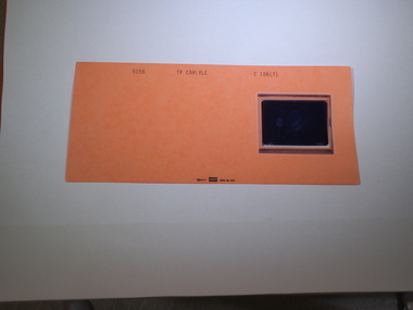 Rutherglen Historical Society
Aperture Card microfilm, Victorian Land Tiltes Office, Town Plan Carlyle
Town layout of Carlylecard with a single microfilm insertplan, town, boundries, lots, roads -
 Rutherglen Historical Society
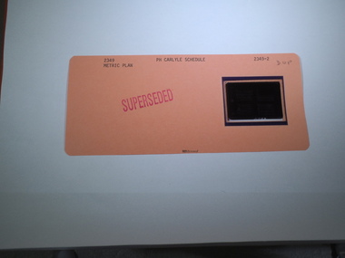
Aperture Card microfilm, Victorian Land Tiltes Office, Parish Plan Carlyle (Superseded)
Town layout of Carlylecard with a single microfilm insertplan, town, boundries, lots, roads -
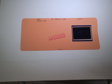
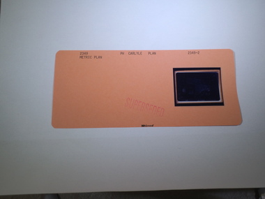
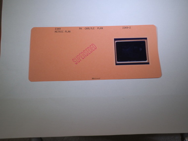 Rutherglen Historical Society
Aperture Card microfilm, Victorian Land Tiltes Office, Parish Plan Carlyle (Superseded)
Town layout of Carlylecard with a single microfilm insertplan, town, boundries, lots, roads -
 Rutherglen Historical Society
Aperture Card microfilm, Victorian Land Tiltes Office, Parish Plan Carlyle (Superseded)
Town layout of Carlylecard with a single microfilm insertplan, town, boundries, lots, roads -
 Rutherglen Historical Society
Aperture Card microfilm, Victorian Land Tiltes Office, Parish Plan Carlyle (Superseded)
Town layout of Carlylecard with a single microfilm insertplan, town, boundries, lots, roads -
 Rutherglen Historical Society
Aperture Card microfilm, Victorian Land Tiltes Office, Parish Plan Carlyle (Superseded)
Town layout of Carlylecard with a single microfilm insertplan, town, boundries, lots, roads -
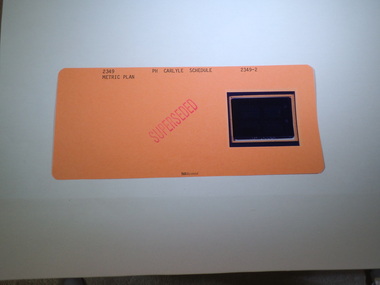
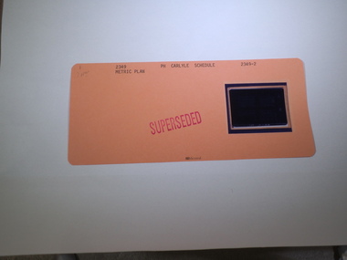
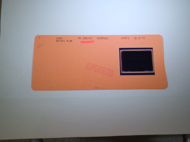 Rutherglen Historical Society
Aperture Card microfilm, Victorian Land Tiltes Office, Parish Schedule Carlyle (Superseded)
Town layout schedule of Carlylecard with a single microfilm insertschedule -
 Rutherglen Historical Society
Aperture Card microfilm, Victorian Land Tiltes Office, Parish Plan Carlyle (Superseded)
Town layout of Carlylecard with a single microfilm insertplan, town, boundries, lots, roads -
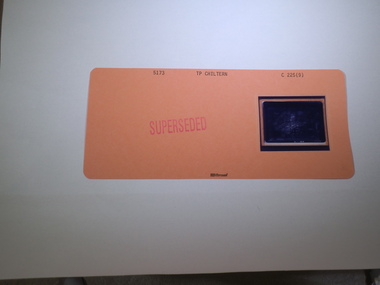
 Rutherglen Historical Society
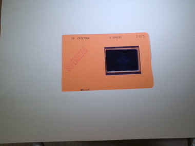
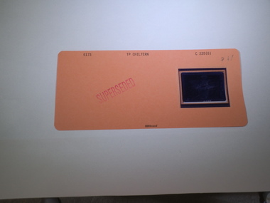
Aperture Card microfilm, Victorian Land Tiltes Office, Town Plan Chiltern (Superseded)
Town layout of Chilterncard with a single microfilm insertplan, town, boundries, lots, roads -
 Rutherglen Historical Society
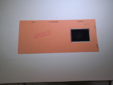
Aperture Card microfilm, Victorian Land Tiltes Office, Town Plan Chiltern (Superseded)
Town layout of Chilterncard with a single microfilm insertplan, town, boundries, lots, roads -
 Rutherglen Historical Society
Aperture Card microfilm, Victorian Land Tiltes Office, Town Plan Chiltern (Superseded)
Town layout of Chilterncard with a single microfilm insertplan, town, boundries, lots, roads -
 Rutherglen Historical Society
Aperture Card microfilm, Victorian Land Tiltes Office, Town Plan Chiltern (Superseded)
Town layout of Chilterncard with a single microfilm insertplan, town, boundries, lots, roads -
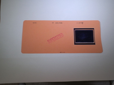
 Rutherglen Historical Society
Aperture Card microfilm, Victorian Land Tiltes Office, Parish Schedule Chiltern (Superseded)
Town layout of Chilterncard with a single microfilm insertschedule -
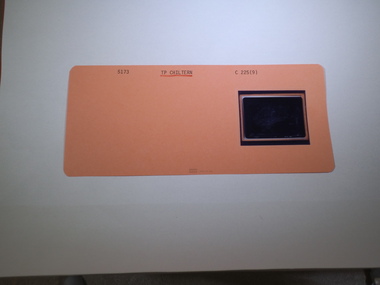
 Rutherglen Historical Society
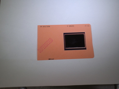
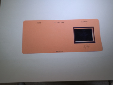
Aperture Card microfilm, Victorian Land Tiltes Office, Town Plan Chiltern, May/1996
Town layout of Chilterncard with a single microfilm insertplan, town, boundries, lots, roads -
 Rutherglen Historical Society
Aperture Card microfilm, Victorian Land Tiltes Office, Town Plan Chiltern (Superseded)
Town layout of Chilterncard with a single microfilm insertplan, town, boundries, lots, roads -
 Rutherglen Historical Society
Aperture Card microfilm, Victorian Land Tiltes Office, Town Plan Chiltern (Superseded)
Town layout of Chilterncard with a single microfilm insertplan, town, boundries, lots, roads -
 Rutherglen Historical Society
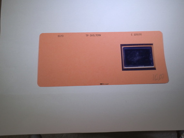
Aperture Card microfilm, Victorian Land Tiltes Office, Town Plan Chiltern, October/2000
Town layout of Chilterncard with a single microfilm insertplan, town, boundries, lots, roads -
 Rutherglen Historical Society
Aperture Card microfilm, Victorian Land Tiltes Office, Town Plan Chiltern (Superseded)
Town layout of Chilterncard with a single microfilm insertplan, town, boundries, lots, roads -
 Rutherglen Historical Society
Aperture Card microfilm, Victorian Land Tiltes Office, Town Plan Chiltern
Town layout of Chilterncard with a single microfilm insertplan, town, boundries, lots, roads -
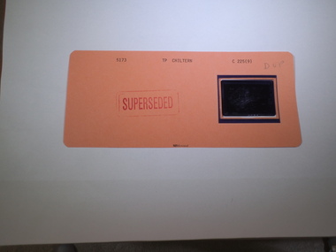 Rutherglen Historical Society
Aperture Card microfilm, Victorian Land Tiltes Office, Town Plan Chiltern (Siperseded)
Town layout of Chilterncard with a single microfilm insertplan, town, boundries, lots, roads