Federation University Historical Collection
Map, Dead Horse Creek, 1887, 29/05/1887
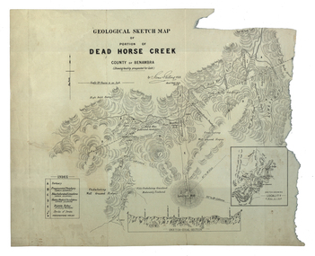
... ...mount cobberas...dead horse creek james stirling gold geology mount cobberas Geological sketch map of a portion of Dead Horse Creek.
...
Geological sketch map of a portion of Dead Horse Creek.
WGS 84 Centroid
Lat: 36 degrees 50 inches S
Long: 148 degrees 00 inches S
NS: 4.3km
EW 4.8kmdead horse creek, james stirling, gold, geology, mount cobberas