Physical description
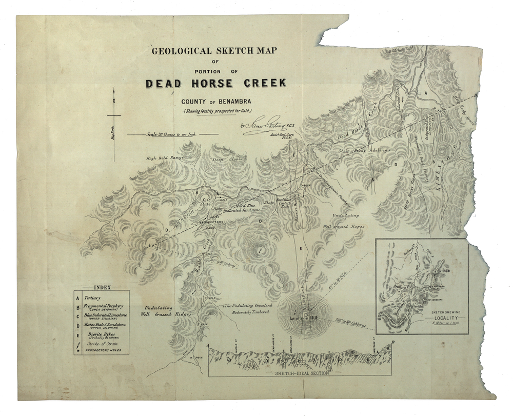
Geological sketch map of a portion of Dead Horse Creek.
WGS 84 Centroid
Lat: 36 degrees 50 inches S
Long: 148 degrees 00 inches S
NS: 4.3km
EW 4.8km
Dead Horse Creek, 1887
Can you reuse this media without permission? Yes
Public domain
This media item is listed as being within the public domain. As such, this item may be used by anyone for any purpose.
Please acknowledge the item’s source, creator and title (where known)
Have a question? Contact Federation University Historical Collection
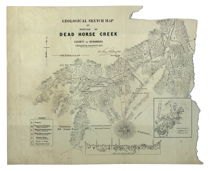
Geological sketch map of a portion of Dead Horse Creek.
WGS 84 Centroid
Lat: 36 degrees 50 inches S
Long: 148 degrees 00 inches S
NS: 4.3km
EW 4.8km