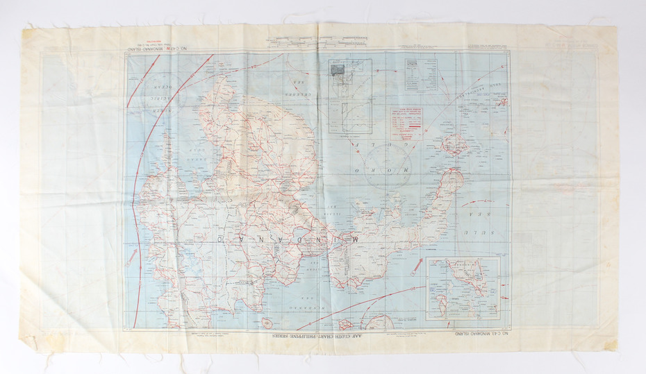
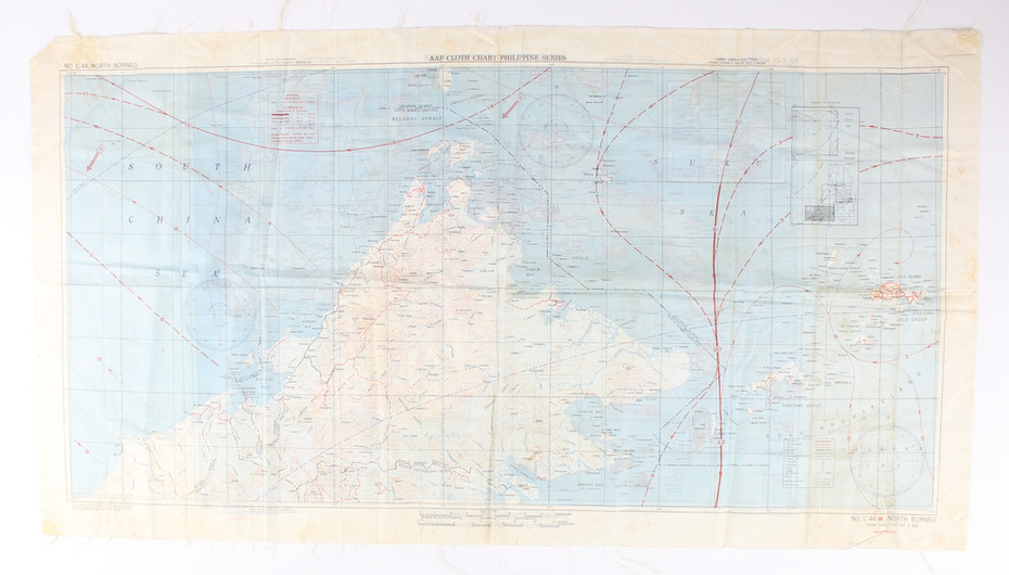


Historical information
Silk escape map issued to Allied Airmen during World War 11 for the Pacific campaigns
Significance
A silk escape map including detail of tides and winds was relevant to air force personnel in Pacific regions during WW2.
Physical description
Coloured Cloth Escape Map of Side A : No. C44 North Borneo Side B: No C43 Mindanao Island
SCALE: 1:1,000,000; Wind and Current markings;
Inscriptions & markings
AAF Cloth Cart- Philippine Series
Prepared under the direction of the Commanding General, Army Air Forces, by the aeronautical Chart Service, Washington DC July 1944