


Historical information
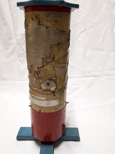
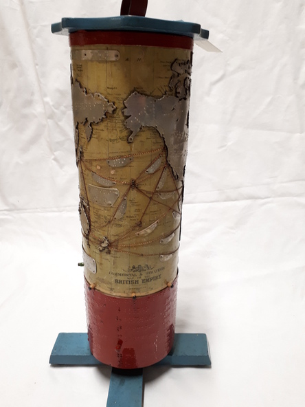
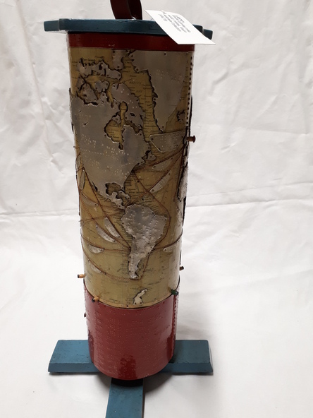
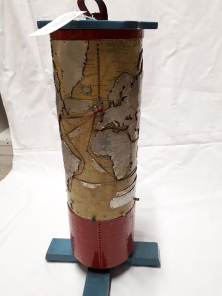
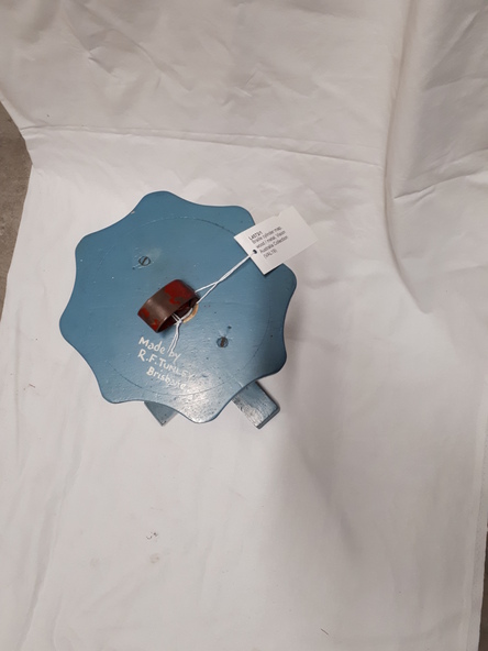
This map was produced by Richard Francis Tunley and given to the Victorian Braille Library for use by it's patrons. Mr Tunley was a prolific Braille map maker as well as producing other items for blind and vision impaired children, advocated for compulsory education for blind and deaf children and established the Queensland Braille Map and Model Club. Leading by example, his maps were treasured by those who used them and were an outstanding piece of craftsmanship.
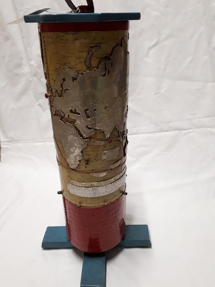
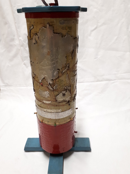
In this example, the metal cylinder sits on a wooden base and can be turned via a handle in the wooden top or rotating the sides. A brailled red metal plate occupies the bottom third, and large continents have a metal plate, cut to shape, upon which braille country/continent names are placed. Major rivers are traced through raised lines in the metal continental plates, twisted wire traces shipping routes with associated brailled metal plates, raised metal pins in some major locations and more explanatory plates sit in various oceans.
Physical description
1 metal cylindrical map with tactile markers
Inscriptions & markings
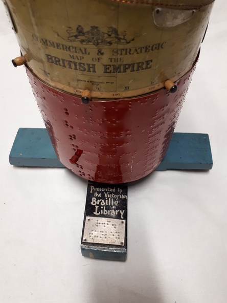
Commercial & Strategic Map of the British Empire
Presented to the Victorian Braille Library