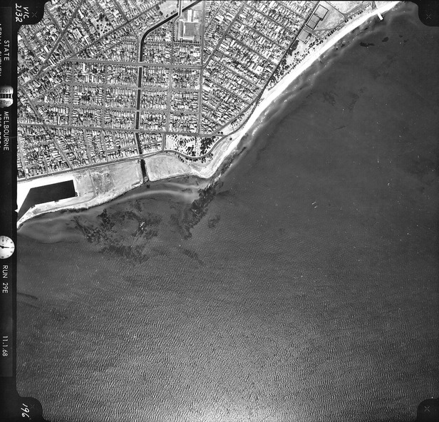
Historical information
One of a series of photo-maps produced for the Department of Crown Lands and Survey (1857-1983). For correlation with a current map, and access to other historical photo maps of Victoria, see the Historic Photo-Maps Index published by the Department of Environment, Land, Water and Planning at https://services.land.vic.gov.au/DELWPmaps/historical-photomaps/
Physical description
Black and white aerial photograph
Inscriptions & markings
Vic 2132 State Aerial Survey Melbourne 1968 Proj. Run 29E 11.1.68 5100 ASL 196