


Historical information
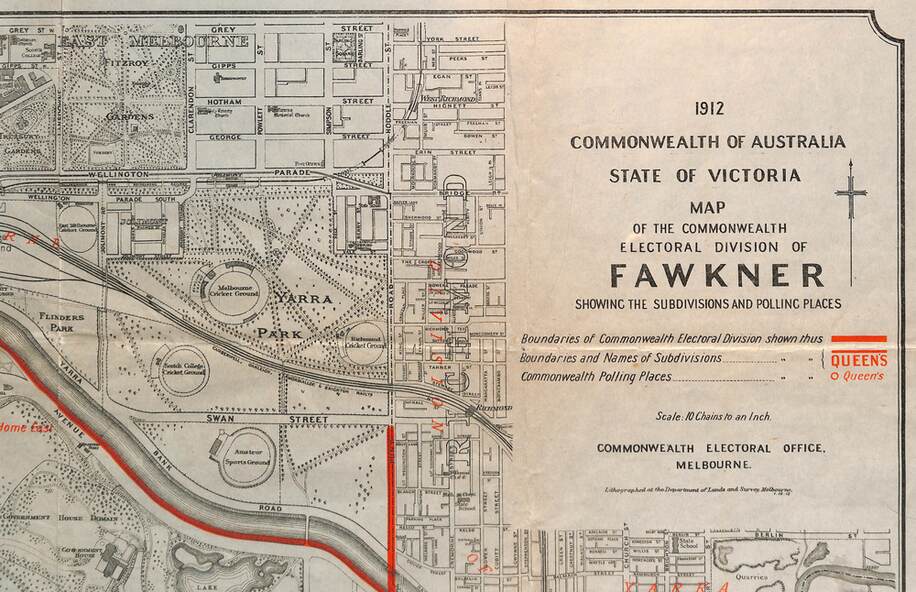
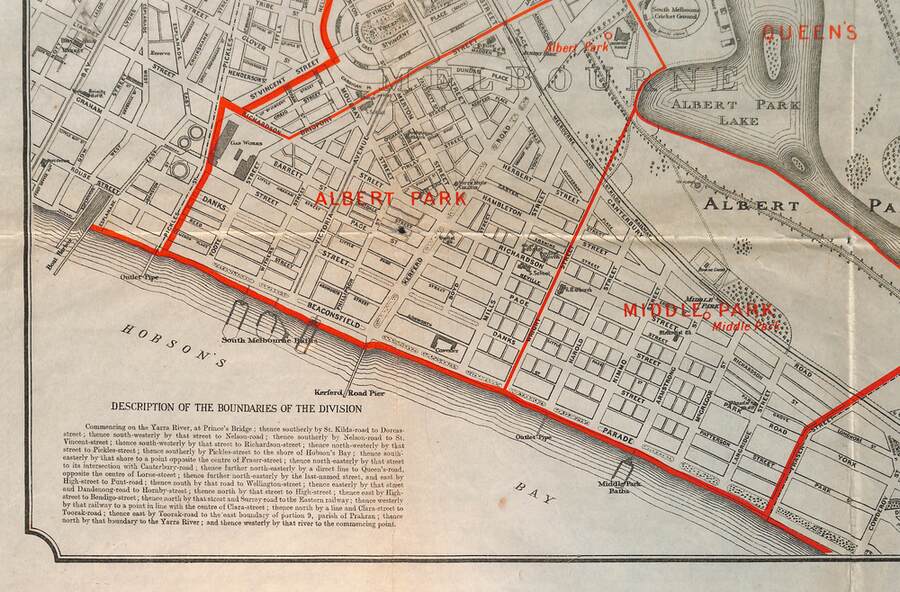
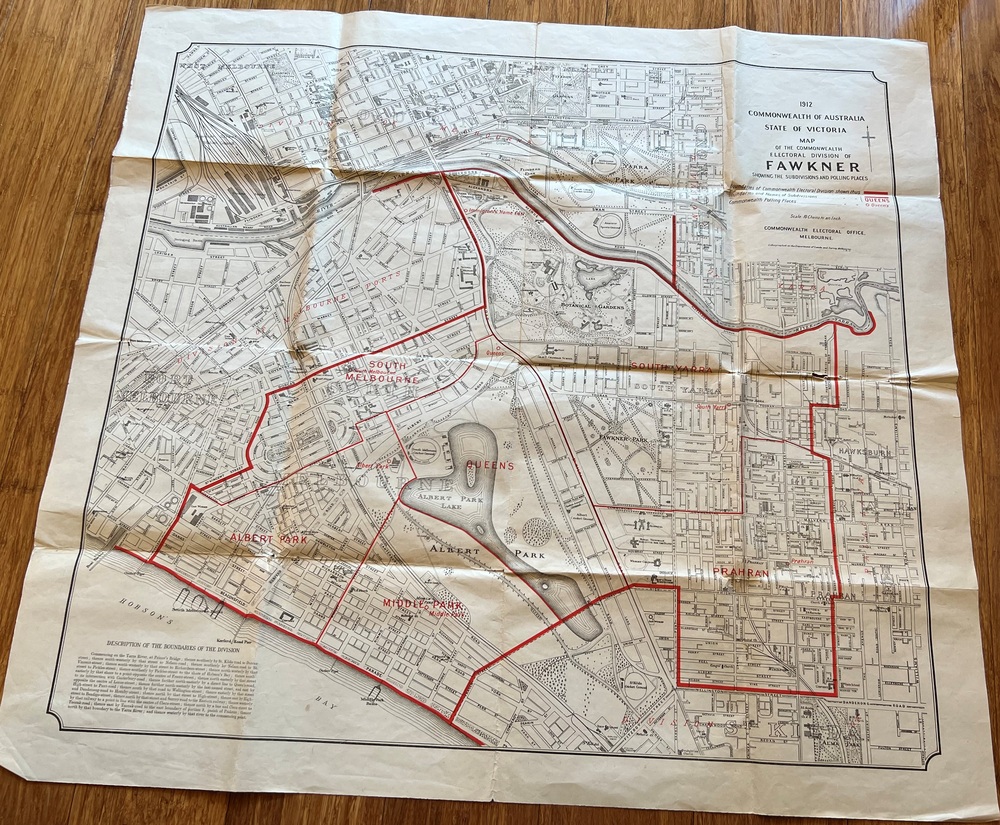
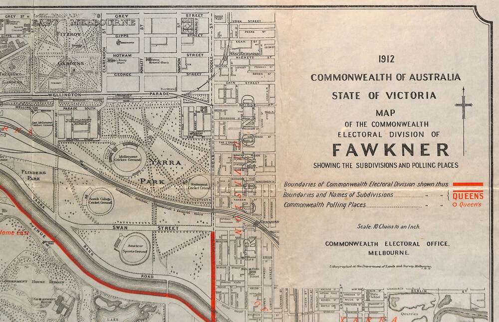
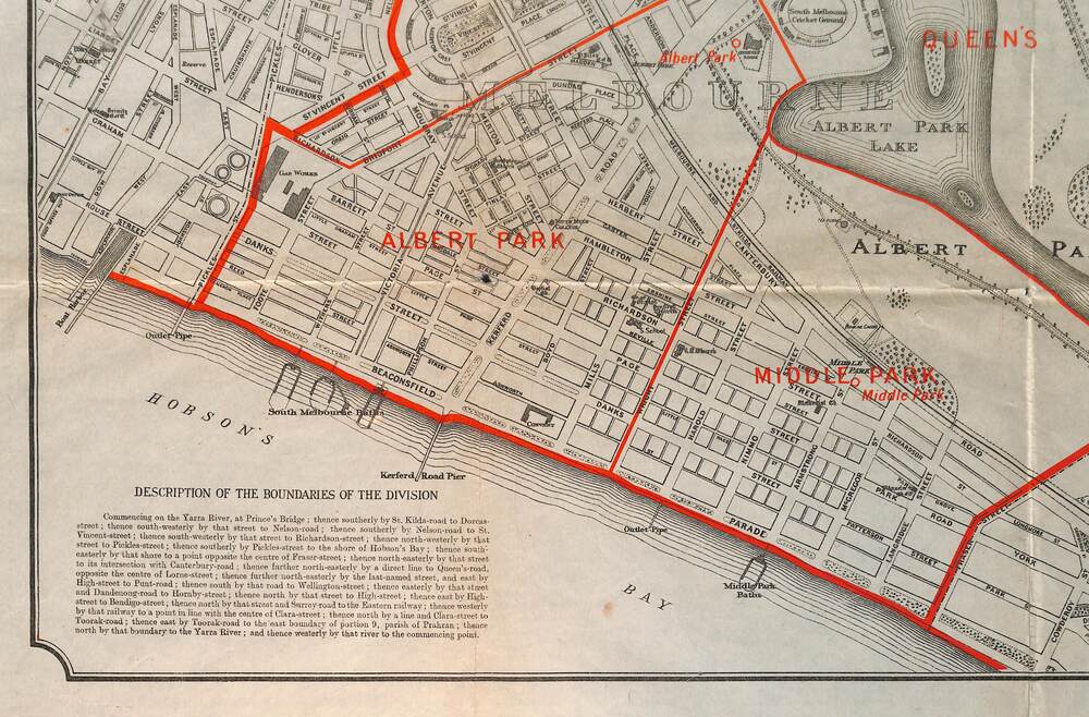
Shows a detailed street plan of South Melbourne, Albert Park, Prahran, South Yarra and parts of Melbourne in 1912. Used to mark the electoral boundaries of the Commonwealth Electoral Division of Fawkner. Shows all the then cable tram lines, rail lines and the electric line of the PMTT along with docks, gardens and significant buildings.
Significance
Gives details of the Fawkner Electoral district in 1912.
Physical description
Folded sheet - Map - Commonwealth Electoral Division of Fawkner - two colours showing the subdivisions and polling places