
Historical information
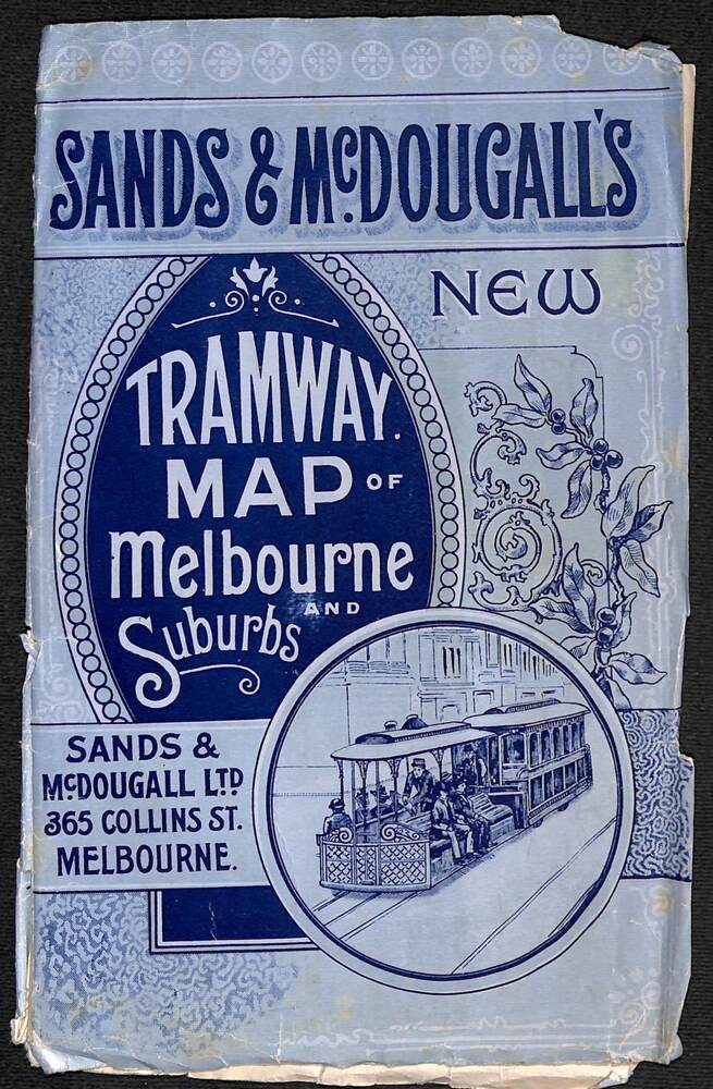
Shows railways, cable and electric tram lines c1906. One of a number of maps produced by Sands McDougall of Collins St. Includes the MTOCo horse tram lines and the Caulfield horse tram lines.
See items 2885 and 6573 for other editions.
Significance
Yields information about Melbourne c1906 and its public transport lines.
Physical description
Map - folded sheet of paper 5 sections wide x 4 sections or folds deep contained within a light grey paper cover titled "Tramway Map of Melbourne and Suburbs"