Physical description
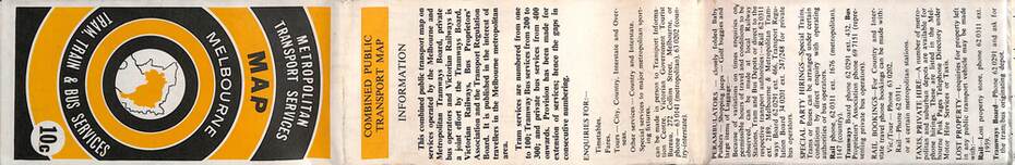
Pocket size - folded - public transport map of Melbourne, printed in colours showing the bus, train and tram routes around Melbourne. Has a cover price of 10c. No printing date shown, but c1970 as distances are still in imperial, the West gate bridge is shown, though so is the Williamstown Ferry. Gives telephone numbers in 6 digit figures. Lists route numbers for trams, tramways board bus services and private services. Gives various telephone numbers for further information. Notes the map is a combined effort of the Tramways Board, Victorian Railways, Bus Proprietors' Association and the Transport Regulation Board. Single sheet of paper folded in 9 x 3 folds.