

Physical description
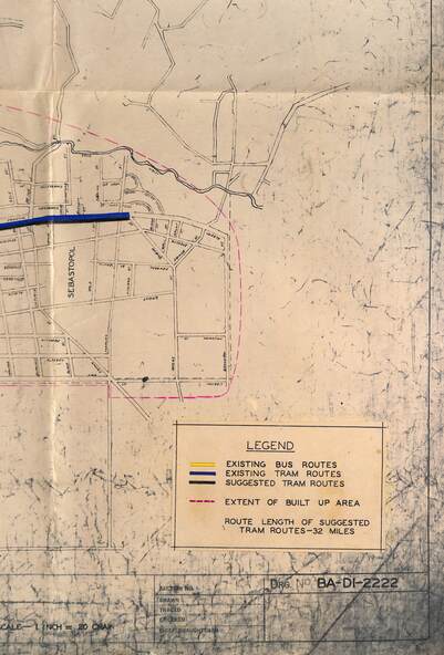
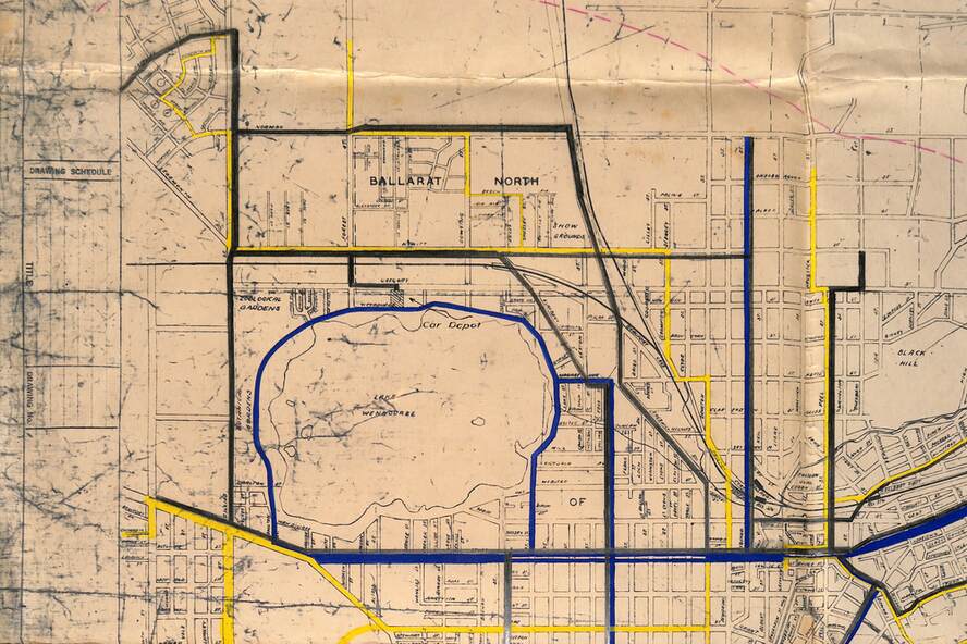
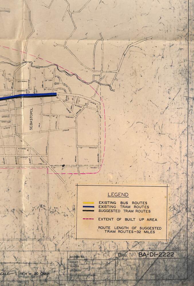
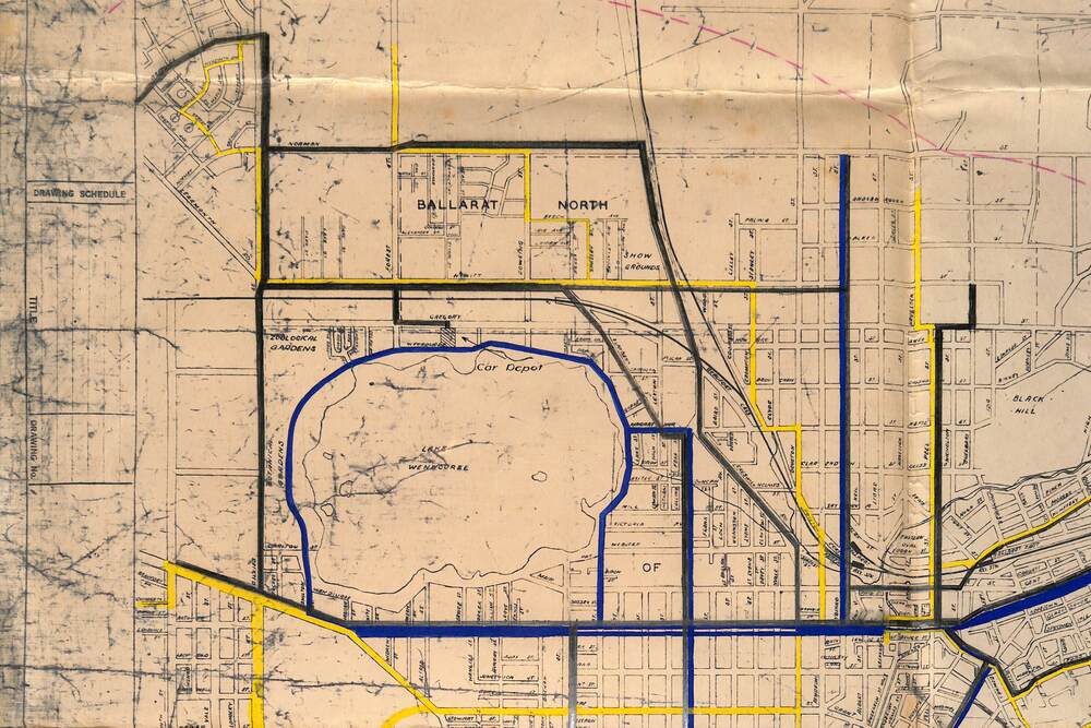
Set of five maps prepared by the SEC/Transport Regulation Board? reviewing the option for Ballarat bus routes after the closure of the Ballarat tramway system. Based on SEC drawing No. BA-D1-2222, drawn at 1" = 20 chains. Shows streets in Ballarat and Sebastopol areas.
1775.1 - tram lines shown in heavy blue lines, with grey and yellow (actual operating bus routes at the time?) routes marked out. A red dashed line defines the general built up area.
1775.2 - "PLAN A" - shows various routes in different colours for Davis, Sproule, Hick ex Whkes, Lyons, Braybrooks and Witkins services and existing tram lines.
1775.3 - "Plan B"
1775.4 - "Plan C"
1775.5 - "Plan D"
1175.6 - Plan as above, but showing existing bus routes, tram routes and suggested tram routes. Has a small sheet of paper that was clipped to the drawing. Not dated.
Not known exactly the basis that these plans were drawn up on.
Drawings to be scanned.