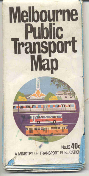


Physical description
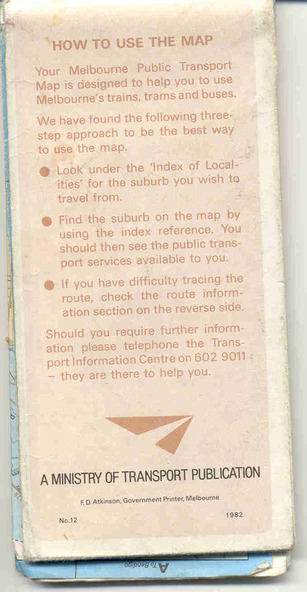
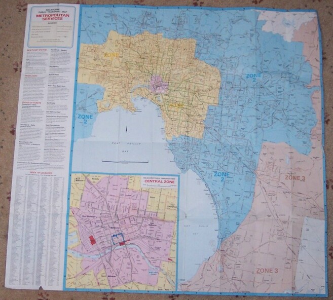
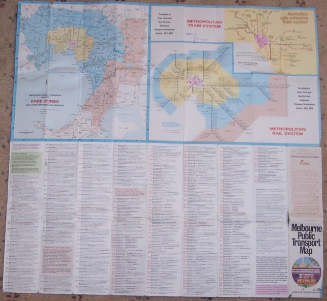
Pocket size - folded - public transport map of Melbourne, printed in colour on paper, showing public transport services in greater Melbourne, including ticketing information, travelcards and an index of localities. The Central zone area shown in detail. On the rear, route numbers and line maps of tram routes and train lines or services and fare zones. The first map with the new three zone system of fares. Includes private bus routes. Printed 1982 by Government Printer. Issue No. 12.
Inscriptions & markings
On inside, a circle route around Flinders, Queen, Little Collins and Swanston St in blue felt pen and arrow in blue ink. On the rear, a sketch map showing the location Charles St, Mantell St and William Road, and a circle around Upfield station.