


Significance
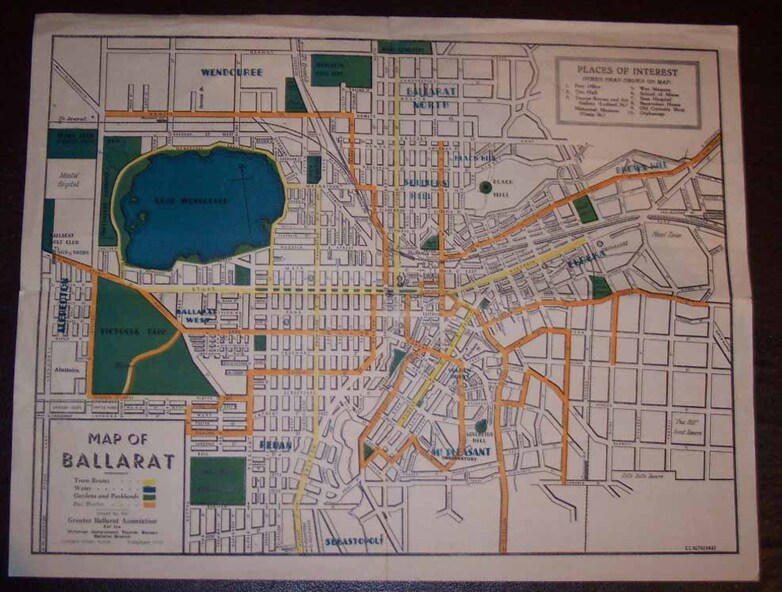
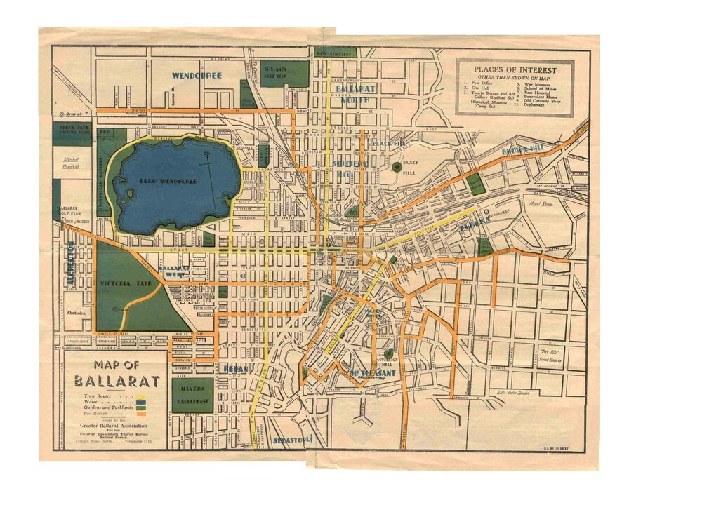
Yields information about Greater Ballarat, including trams, buses, locations and streets. Has a strong association with George Netherway.
Physical description
Five colour map of Ballarat, showing streets, places of interest, Parks, tram routes, bus routes, railway lines, prepared by G. C. Netherway, Greater Ballarat Association, for the Victorian Government Tourist Bureau, Ballarat Branch, c1945.
Shows suburbs names, location of orphanage, the lack of development north of Howitt St, in Wendouree. Map is part diagrammatic and is not entirely to scale.
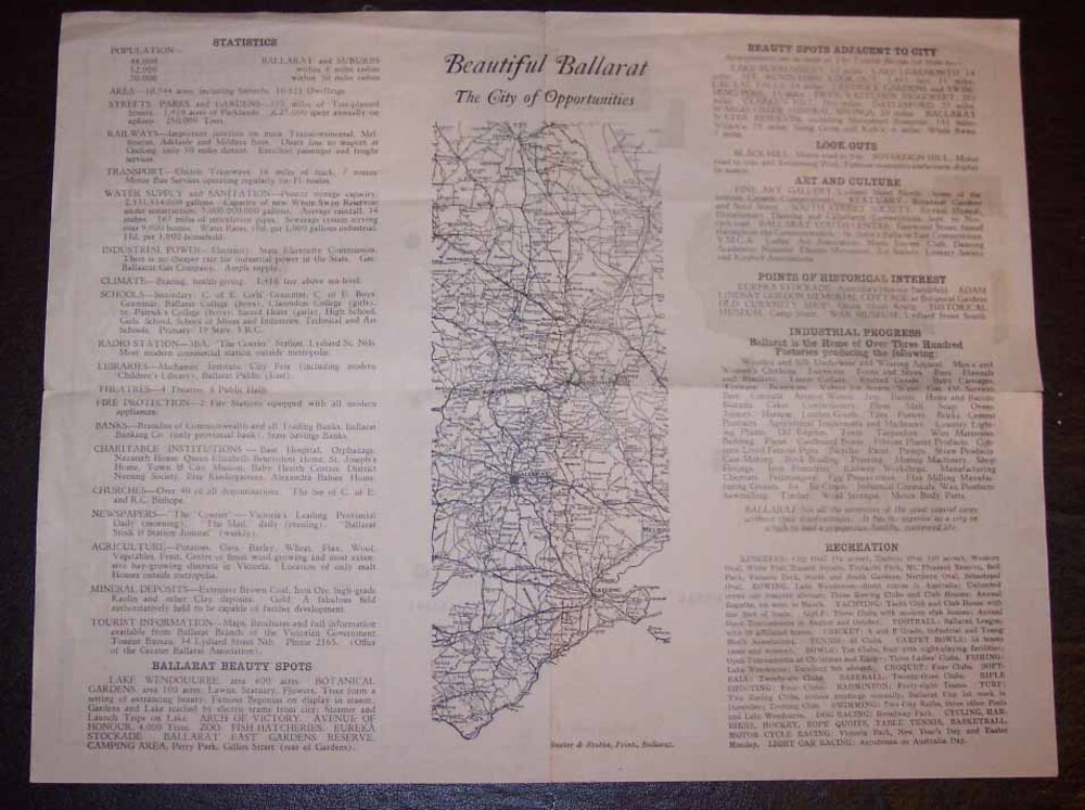
On rear is a road map of the Ballarat area, lists of statistics, beauty spots, look outs, art and culture, points of historical interest, industrial products and recreation.
Note: Image 1, assembled from four scans, does not entirely match at edges.
See Reg item 2074 for photographic image of another version map.
See Reg Item 5613 for another version of this map.