


Historical information
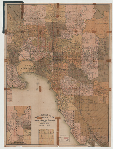
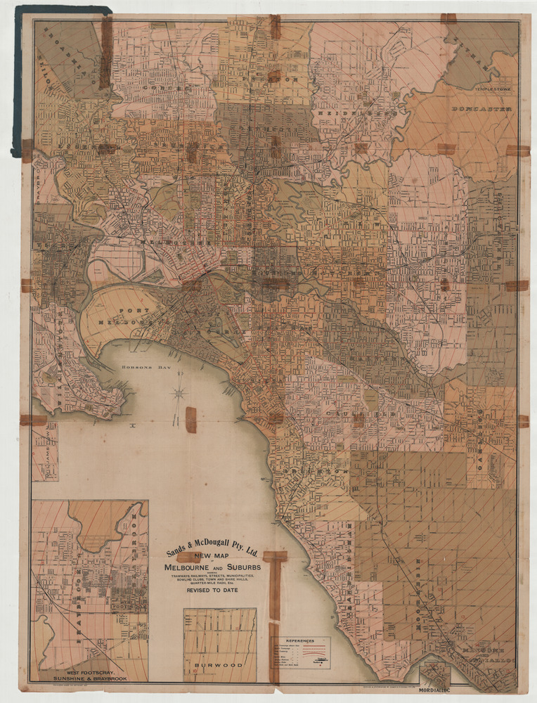
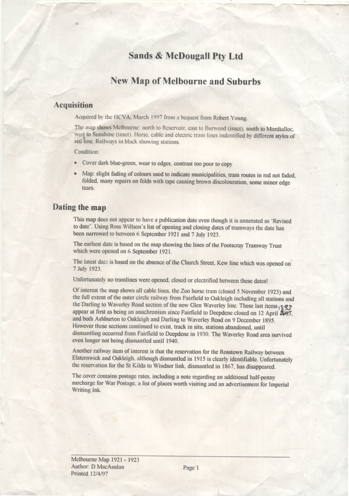
Shows railways, cable and electric tram lines c1922. One of a number of maps produced by Sands McDougall of Collins St. Includes the Zoo horse tram lines. See acquisition and Research note by Duncan McAuslan.
See items 2885, 6573, amd 6917 for other editions.
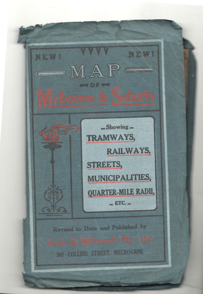
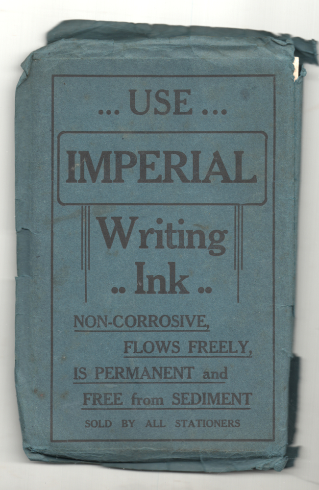
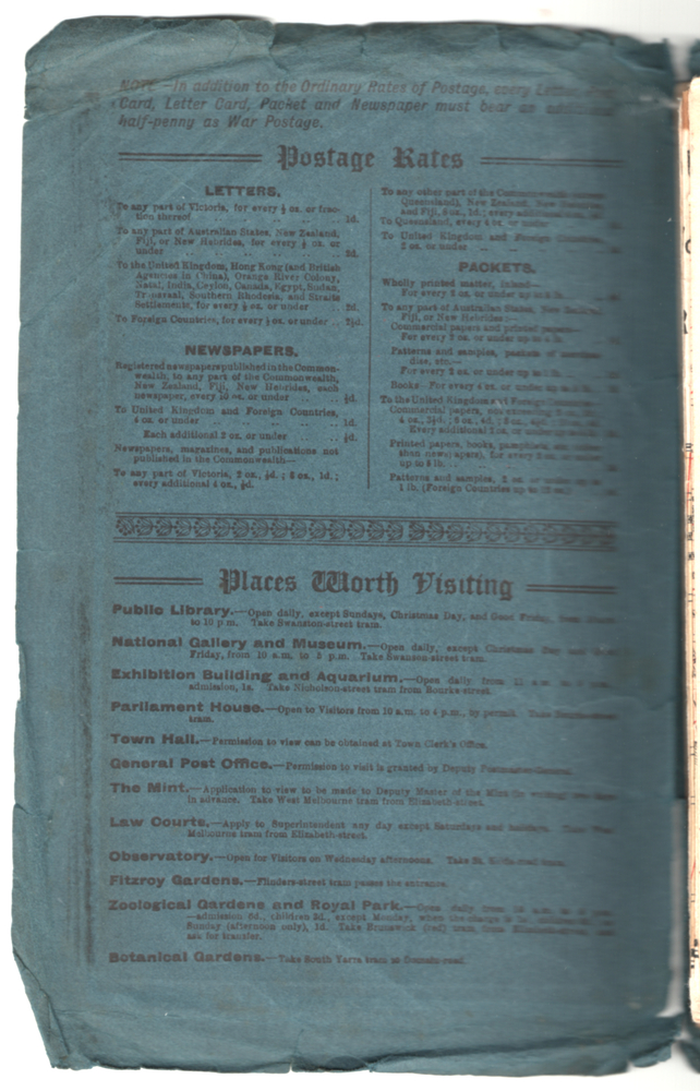
On inside cover has current postal rates (including a war surcharge) and places worth visiting and on the rear cover, is an advertisement for Imperial ink.
Significance
Yields information about Melbourne c1922 and its public transport lines.
Physical description
Produced by Sands and McDougall Pty Ltd of Collins St Melbourne. Folded sheet of paper 6 sections wide x 6 sections or folds deep contained within a green paper cover titled "Map of Melbourne and Suburbs showing Tramways, Railways, Streets, postal districts, Quarter-Mile Radii etc", showing both cable and electric tramways.