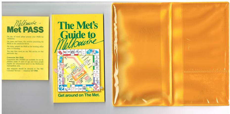


Physical description
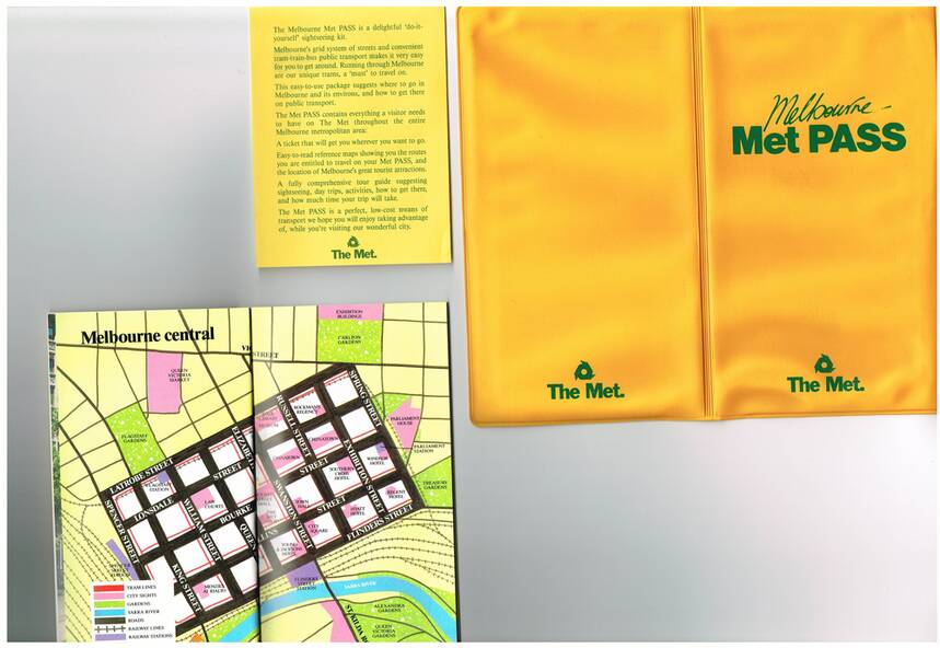
Yellow plastic folder titled "Melbourne Met Pass", with The Met logo in green print on both sides of the outside of the folder. On the inside has two pockets for storing items formed with clear plastic.
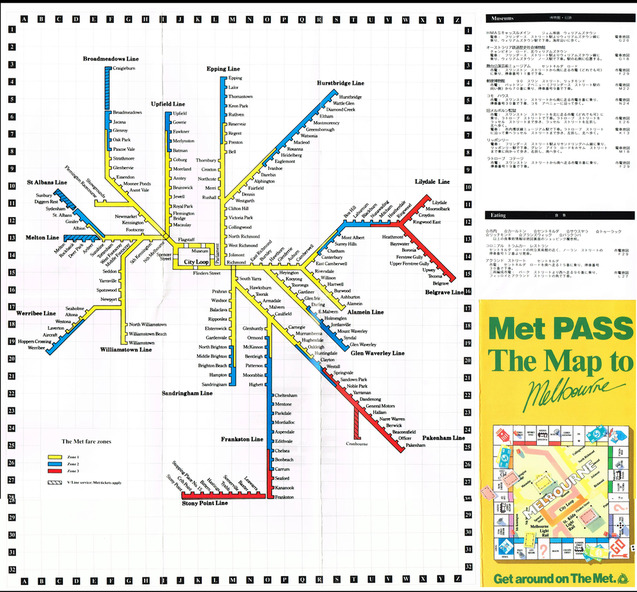
Map
Folded Map of Melbourne Rail and Tram lines, titled "The Met PASS Map to Melbourne"
Tram Map - probably soon after conversion of the St Kilda and Port Melbourne lines to Light Rail, though these are not shown. Opened November 1987.
Rail Map - shows Route 96 north section as Light Rail, co-ordinated bus routes, and the Altona line as going to Werribee. This route was opened in 1985.
Date of Map c1988/1990.
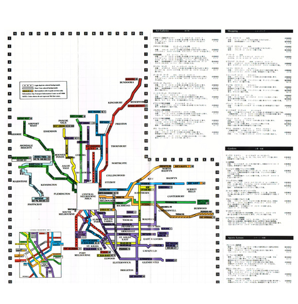
Has details of Museums, Art Galleries, Shopping, Gardens and Sports Arenas in Japanese.
Sheet of paper advising users on presentation of the Met Pass (not included in the folder)
Book - titled "The Met's Guide to Melbourne", sub titled - Get around on The Met. Card covers, perfect bound, 100 pages in colour with maps, guides and information about various locations within Greater Melbourne including Werribee Zoo and Healesville.
See also Reg Item 106 to 108 for a similar item and 983 for the document that was used to launch the Met Pass.
Two copies held.