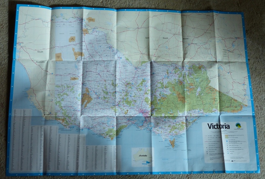


Physical description
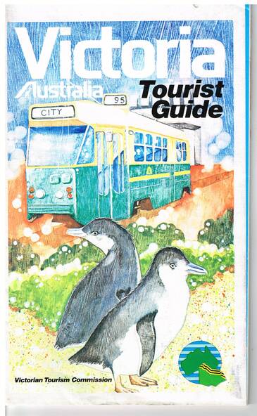
Folded map of Victoria, showing in colour relief Victorian area, national parks, highways, towns, railways, airport, wine growing areas, towns with information centres, historic parks, ski fields. NSW and SA show major towns and highways. Front cover includes an image of a Z class tram and two penguins. Has town index.
Folded 7 folds horizontally by 3 folds deep.
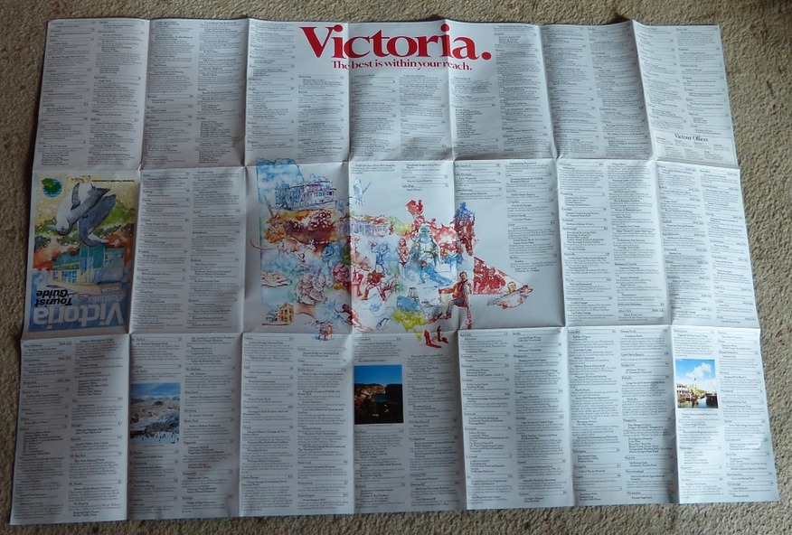
On rear is a listing of locations with major tourist destinations provided. Provides location of VicTour offices.
Prepared by the Surveyor General for the Victorian Tourism Commission, printed by the Government Printer, 4th edition 1985.