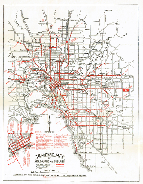
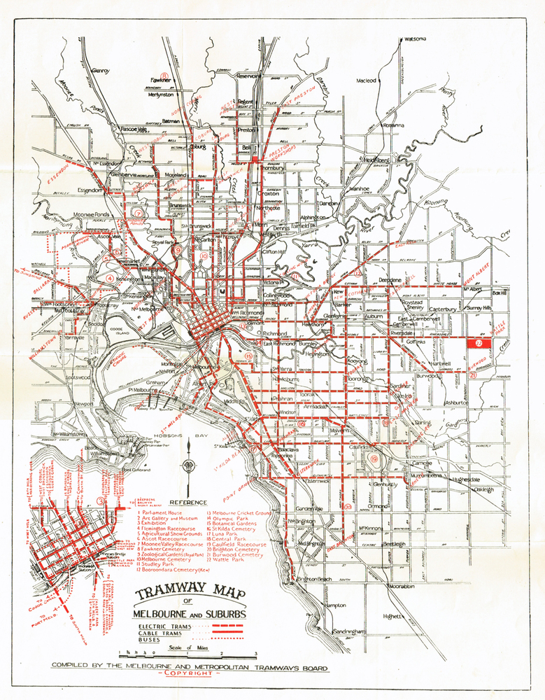
Physical description
Folded map (4 x 2) by Melbourne and Metropolitan Tramways Board, c1939, of Melbourne tramways, showing tram routes (cable, electric and VR), bus routes, railway lines, major points of interest and major streets. No printing or information on the rear. Once part of another document with remnants of glue on the rear top left hand edge.
See Reg Item 801 for a 1927c map.