


Physical description
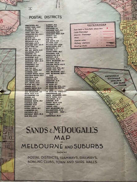
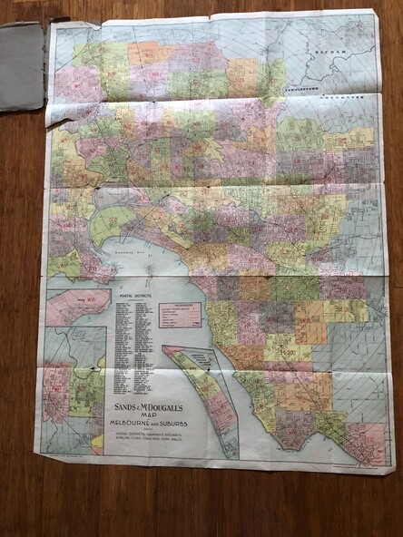
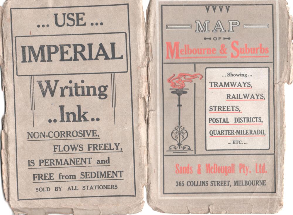
Produced by Sands and McDougall Pty Ltd of Collins St Melbourne. Map - folded sheet of paper 5 sections wide x 6 sections or folds deep contained within a dark grey paper cover titled "Map of Melbourne and Suburbs showing Tramways, Railways, Streets, postal districts, Quarter-Mile Radii etc", showing both cable and electric tramways. verted, but not Market St to Port Melbourne or South Melbourne.
Shows the Collins St line being constructed. Collins St routes were opened late 1929, map produced during the early 1930's prior to the closure of Market St - Port Melbourne.
Has a detailed list of the postal districts.