


Historical information
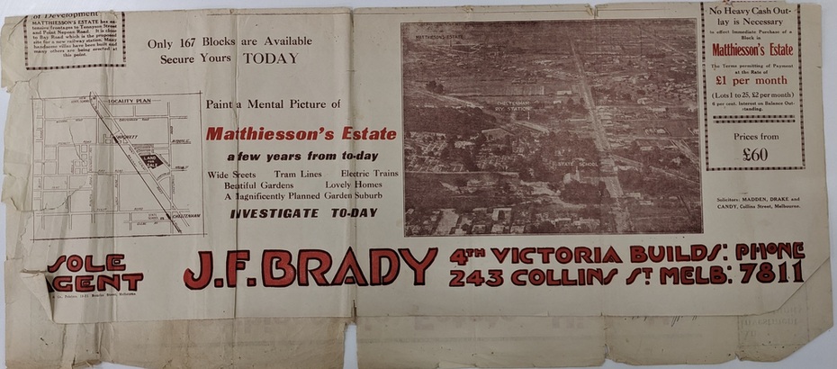
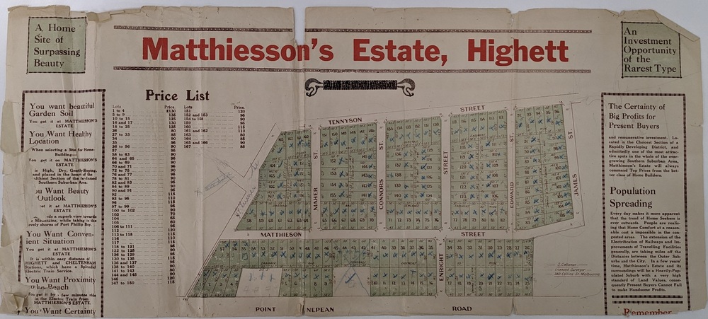
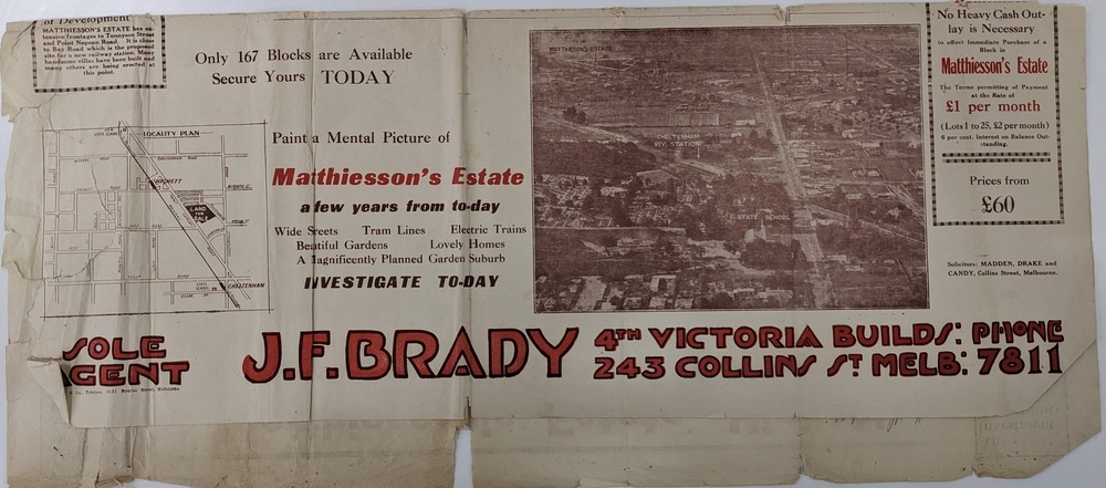
Sales plan for land in the suburb of Highett, bounded by Tennyson Street, James Street and Point Nepean Road and including Maher Street, Connors Street, Enright Street, Edward Street, James Street and Matthieson Street.
Significance
The developing urban area of Highett within the City of Kingston. This land sale pamphlet illustrates the subdivision of land within the municipality and the changing demographic of the district as new houses are constructed close to infrastructure.
Physical description
Colour pamphlet advertising for private sale subdivisions in the Matthiesson's Estate, Highett. Incorporates a map of the estate bordered by Tennyson Street, James Street and Point Nepean Road and including Maher Street, Connors Street, Enright Street, Edward Street, James Street and Matthieson Street.
Inscriptions & markings
Handwritten in blue pencil: x marked on every subdivision on the map
Handwritten in grey pencil at the end of the Price List: x not sold
Handwritten in grey pencil adjacent to subdivisions 58, 167 and 166: JP. Turner
Handwritten in grey pencil adjacent to subdivision 164: [indecipherable]
Markings in grey pencil around the edges of the subdivision map
Handwritten in grey pencil on reverse: Matthiesson / Matthiesson Estate / Matthiesson Estate