Physical description
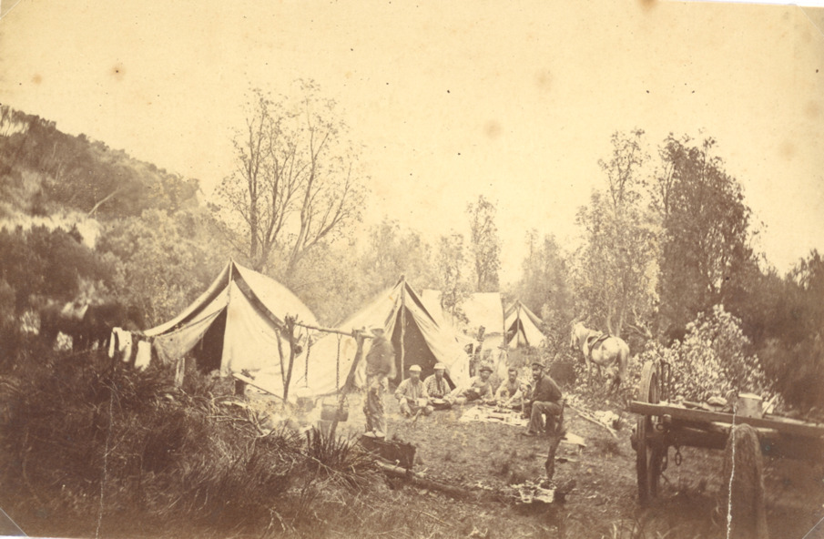
Sepia toned photograph showing Geodetic camp of the survey team working on the Geodetic line marking the border between N S W and Victoria from Cape Howe to nearest source of the Murrary River Gippsland Victoria
Untitled image
Can you reuse this media without permission? No (with exceptions, see below)
All rights reserved
This media item is licensed under "All rights reserved". You cannot share (i.e. copy, distribute, transmit) or rework (i.e. alter, transform, build upon) this item, or use it for commercial purposes without the permission of the copyright owner. However, an exception can be made if your intended use meets the "fair dealing" criteria. Uses that meet this criteria include research or study; criticism or review; parody or satire; reporting news; enabling a person with a disability to access material; or professional advice by a lawyer, patent attorney, or trademark attorney.
Please acknowledge the item’s source, creator and title (where known)
Have a question? Contact Lakes Entrance Historical Society
Sepia toned photograph showing Geodetic camp of the survey team working on the Geodetic line marking the border between N S W and Victoria from Cape Howe to nearest source of the Murrary River Gippsland Victoria