Physical description
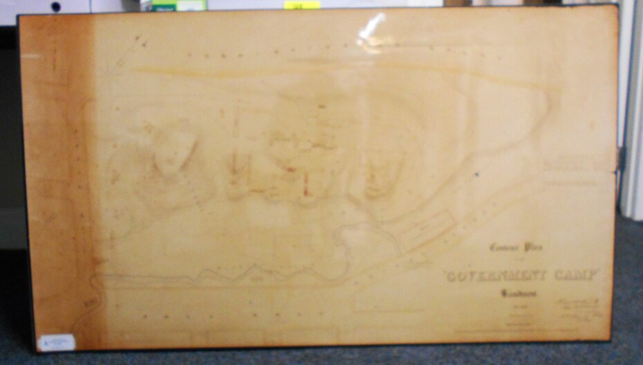
Contour map (copy) of the Government Camp Sandhurst, 1854. Map is mounted on coreflute and laminated. Written in bottom righthand corner 'Contour Plan of the Government Camp, Sandhurst. Dec 1854. Signed by Richard Larritt, Assistant Surveyor, 11th December 1854.'
Shown on map: Pall Mall, Bendigo Creek, Commissioner's Gully, View Place (now View Street), Post Office, Bank of Victoria, District Surgeon, Sandhurst Fire Brigade, Police Hospital, Flagstaff, Gold Office, License Shed, Military Barracks, Stables, Commissioner's Buildings, Police Office. Old Cemetery, Garden.
Reference on righthand side: 'Stone or brick buildings are tinted in crimson. Wooden buildings tinted in Indian Ink. Tents and other temporary structures tinted in Burnt Sienna.'
Scale of Chains, on bottom of map.
Sticker on bottom left hand corner and back of map ' Presented by Survey and Mapping, Victoria, 7th Octber, 1994'.
Subjects
- map,
- bendigo,
- government camp,
- pall mall,
- bendigo creek,
- commissioner's gully,
- view place (now view street),
- post office,
- bank of victoria,
- district surgeon,
- sandhurst fire brigade,
- police hospital,
- flagstaff,
- gold office,
- license shed,
- military barracks,
- stables,
- commissioner's buildings,
- police office. old cemetery,
- garden. ,
- survey and mapping victoria. sandhurst,
- bendigo.