

Historical information
BHS Collection
Physical description
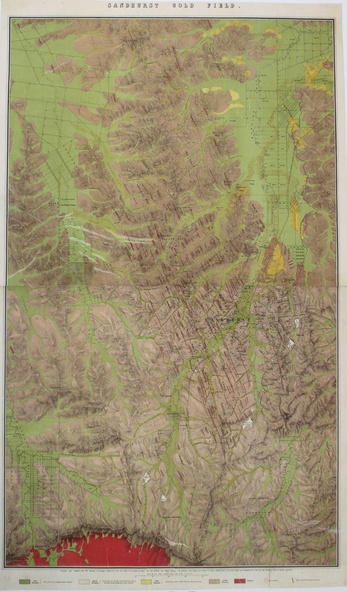
Photocopy of a Topographical coloured map of the Sandhurst Goldfields highlighting Post Ploicene, Newer Ploicene, Older Ploicene, Lower Silurian, Granite and Gold Workings
Printed under the map - Surveyed and completed by R Brough April 1873 Smyth F.G.S. and Assec Inst C.E. Secretary for Mines and the Couchman Chief Minning Surveyor, The Honorable Angus Mackie M. P. Minister of Mines additions made to the survey and the Map Geologically cotored under the same direction by Reg. A. F. Murray
