Physical description
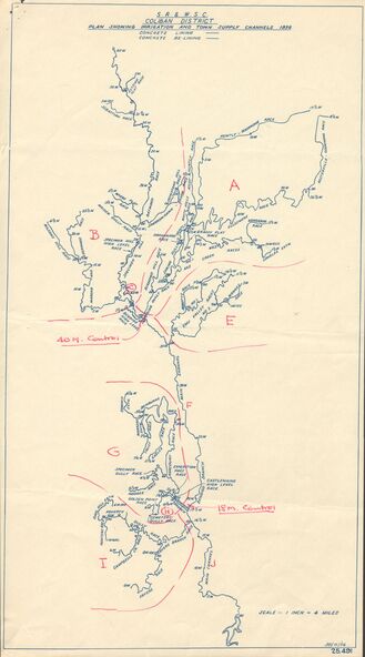
State Rivers and Water Supply Commission Coliban District map. Titled: S.R. & W.S.C. Coliban District Plan showing Irrigation and Town Supply Channels 1956. Scale: 1 inch = 4 miles. Indicates concrete lining and concrete re-lining channels. Printed in blue ink and information added in red. The map is dated at the bottom - 30/11/'56. There is a number, 25,491, in the bottom right corner.