Physical description
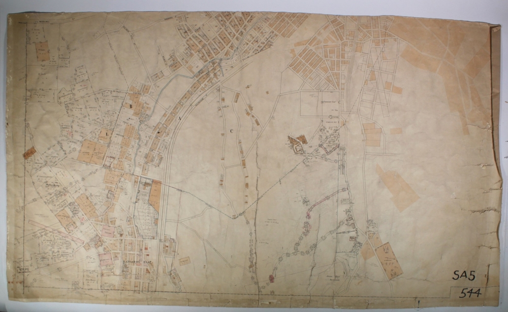
Map: Parish plan showing area from Kangaroo Flat to Spring Gully

9399
Can you reuse this media without permission? Yes
Public domain
This media item is listed as being within the public domain. As such, this item may be used by anyone for any purpose.
Please acknowledge the item’s source, creator and title (where known)
Have a question? Contact Bendigo Historical Society Inc.
Map: Parish plan showing area from Kangaroo Flat to Spring Gully