Physical description
Map:Part of Sandhurst City streets, showing west side of High St. between Ophir St. and View Place. Parish plan. Older unidentifiable map on the reverse side.
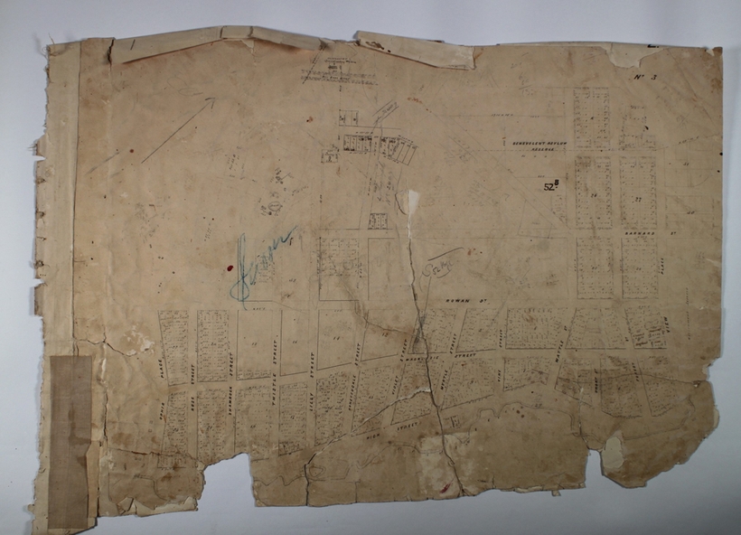
9075a
Can you reuse this media without permission? Yes
Public domain
This media item is listed as being within the public domain. As such, this item may be used by anyone for any purpose.
Please acknowledge the item’s source, creator and title (where known)
Have a question? Contact Bendigo Historical Society Inc.
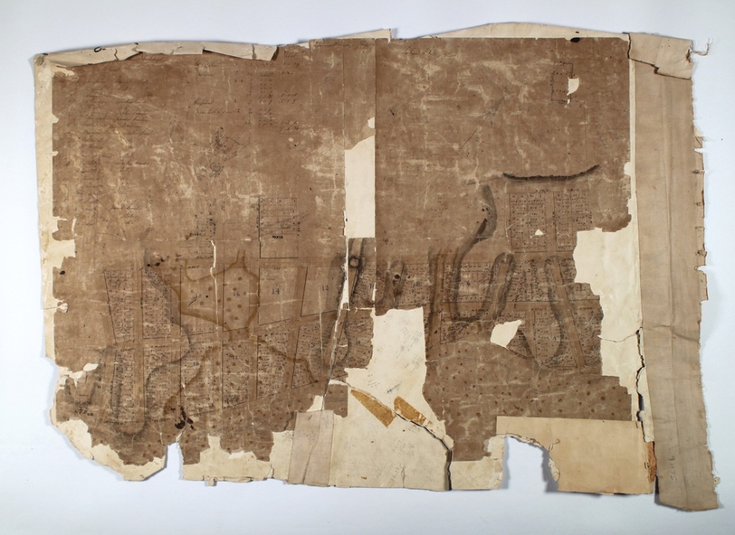
9075b
Can you reuse this media without permission? Yes
Public domain
This media item is listed as being within the public domain. As such, this item may be used by anyone for any purpose.
Please acknowledge the item’s source, creator and title (where known)
Have a question? Contact Bendigo Historical Society Inc.


Map:Part of Sandhurst City streets, showing west side of High St. between Ophir St. and View Place. Parish plan. Older unidentifiable map on the reverse side.