Historical information
This urban map of the Bendigo region is similar to other urban maps developed for Victorian municipalities during planning scheme updates in the late 20th century. Such maps were often used by local councils for urban management.
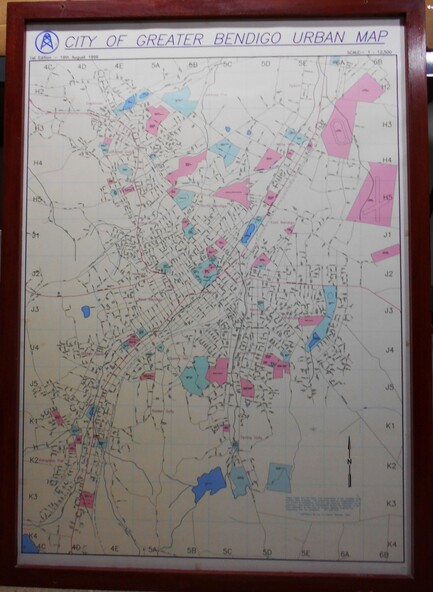
Physical description
A large framed colour map showing the urban area of Bendigo. The map dates to 19 August 1996. It is the first edition and has the scale 1:12500. The map shows the urban layout, including streets, landmarks and blue or pink coloured regions, indicating planning overlays.