




Historical information
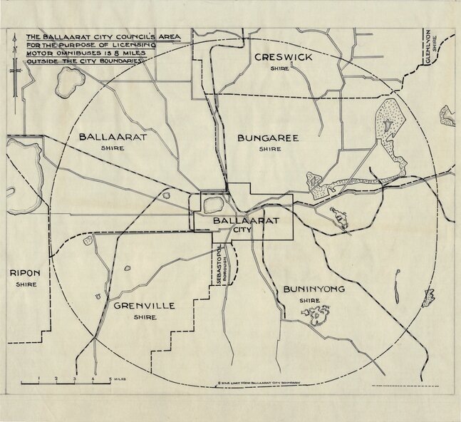
The drawing or map shows the 8-mile radius that applied to the City of Ballaarat's powers for the licensing of passenger Motor buses. Shows the boundary of the City of Ballaarat, Borough of Sebastopol, Shires of Ballaarat, Bungaree, Buninyong, Creswick, Glenlyon, Grenville and Ripon.
Significance
Demonstrates a plan that shows the limits of the City of Ballaarat's power to license passenger buses.
Physical description
Document produced for the Ballaarat City Council "The Ballaarat City Council's Area for the purpose of licensing motor omnibuses is 8 miles outside the city boundaries." Circa 1940's. Drawing - dyeline print and coloured
Inscriptions & markings
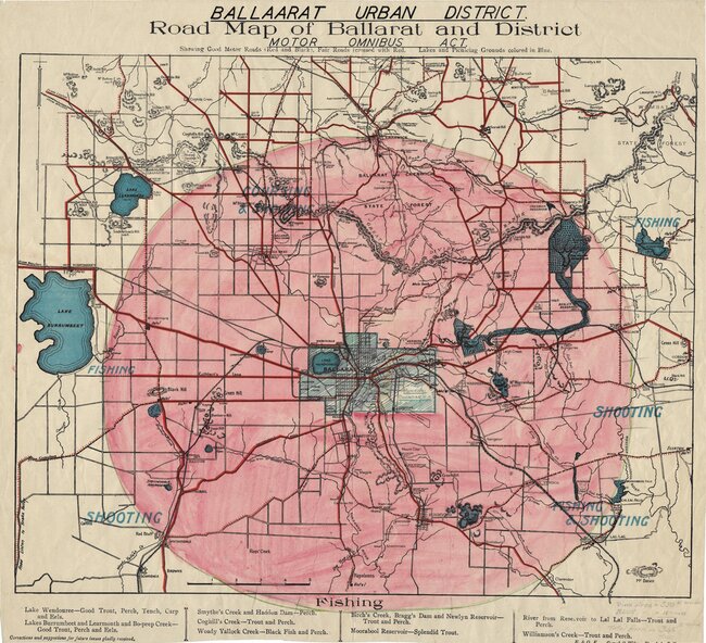
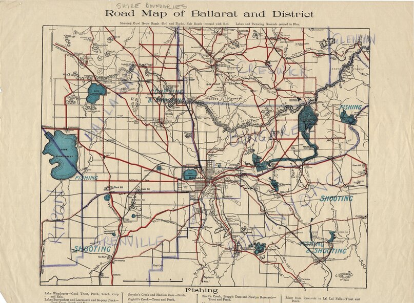
Drawing - dyeline print and coloured. The evolution of the document can be seen in the other attachments start from btm9645iii -> btm9645ii -> btm9645i -> btm9645.
btm9645i - Original hand drawn map, pen on tracing paper.
btm9645ii - Original Road Map of Ballarat and District hand marked up to show Ballaarat Urban District and coverage for omnibus licensing (pink shading).
btm9645iii - Original Road Map of Ballarat and District hand marked up to show shire districts.
