Historical information
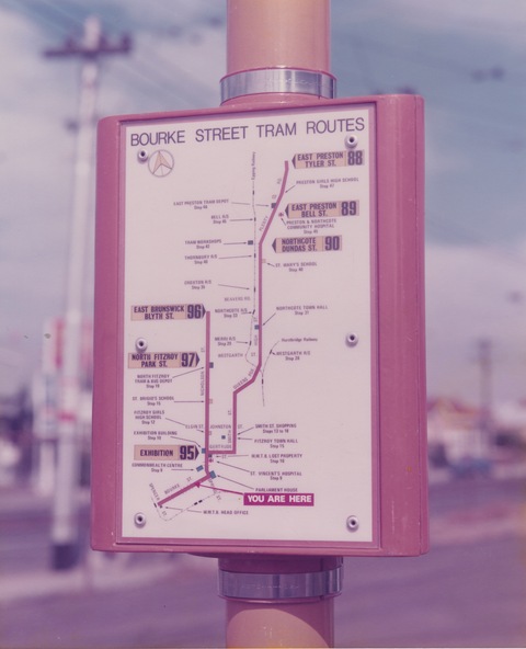
Photograph is a close-up of an orange and white tram route map on a pole at the corner of Bourke Street and Russell Street. The map shows the routes to East Brunswick and East Preston with intermediate route numbers, major locations and railway stations. Such signs were part of a program to encourage more tramway patronage.
Significance
Yields information about Melbourne tramway stops and passenger information
Physical description
Colour print with no note on the rear