



Historical information
The New Chum Railway Reserve was situated near Breen Street, Golden Square: Latitude & Longitude (WGS84): 36° 46' 20'' South , 144° 15' 57'' East
Latitude & Longitude (decimal): -36.77235,144.26581.
The New Chum Railway Reserve Gold Mine (1878-1910) was situated beside the railway line at Golden Square. It ultimately had a depth of 4318 feet and approximately 114,681 ounces of gold were taken from it. It was the deepest mine in the world at one stage but the record depth was eventually claimed by the Victoria Quartz, ( 4593 feet) also on the New Chum reef line. (Gold Mines of Bendigo, Arthur Victor Palmer, book 2)
See Melbourne University Archives for Cundy Collection of correspondence, diary reports, assay books: Cms.victoriancollections.net.au/login
Physical description
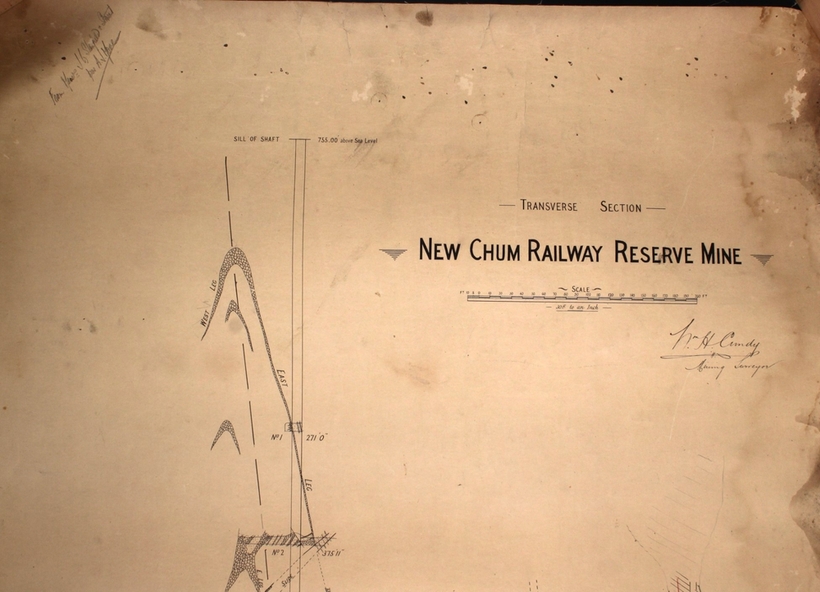
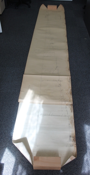
Plan of New Chum Railway Reserve Gold Mine. Written on top of plan: ' New Chum Railway Reserve, transverse section. Scale 30 ft to an inch'. Handwritten below name of mine: ' William H. Cundy, Mining Surveyor' . Handwritten in pencil on top left hand corner of plan: 'from J.G. Stanfield & Stewart, per A.J. Moore'
Mine plan is part of the Margaret Roberts Collection.
Inscriptions & markings
Wm. H. Cundy, Mining Surveyor. J.G.Stanfield & Stewart, per A.J. Moore.
