

Historical information
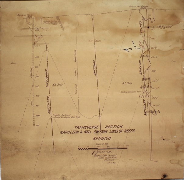
Napoleon Lease no.11111 is situated immediately south from the Golden Square railway station. It embraces an approx length of 36 chains of the Napoleon Anticline. The old Napoleon shaft, the depth of which is 1020 ft, occupies a central position in the area of about 43 acres. The accompanying sections, which are prepared from mine Managers plans, illustrate the extent of previous underground operations and indicate points at which future prospecting may be advantageously continued. The no.10 (920 ft) south level connects with the main Napoleon shaft no.5 level (479 ft) appears to present the best opportunity for testing the prospects that are believed to have been inadequately investigated by the Bendigo Mines Limited in recent years.
Physical description
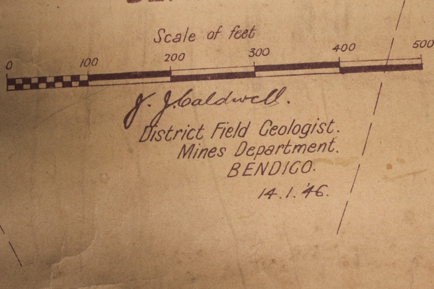
Map drawn on heavy paper. Printed on bottom of plan" Transverse Section Napoleon and Nell Gwynne Lines of Reef' and 'J.J. Caldwell, District Field Geologist, Mines Department, Bendigo. 14.1.46'. Napoleon anticline and Central Nell Gwynne anticline marked on map.
Map is part of the Margaret Roberts Collection of mining documents.