


Historical information
Rockbank was once part of the Braybrook Road District. In, 1871 the Road District became the Shire of Braybrook. In 1916, this district was transferred to the Shire of Melton. In 1951, further land was lost to the Shire of Melton.
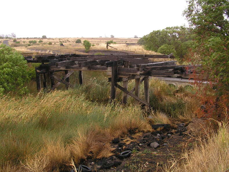
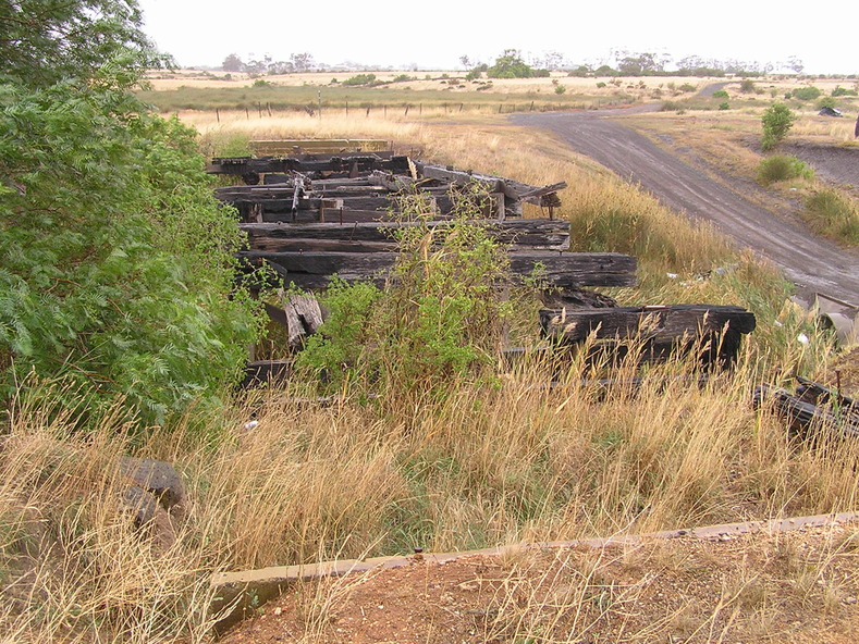
During the early days of the Ballarat gold rush, Beatty's Road was one of the main routes from Melbourne to Ballarat via Keilor .
In December 1854, troops of the 12th and 40th Regiments marching to suppress the Eureka Stockade would have used this route before stopping at the Rockbank Inn, which was located on Beatty's Road, further west towards Melton.
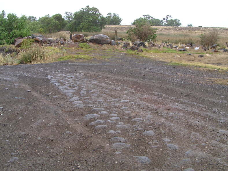
One of the photographs captures a Terrestrial Road surface (Local Blue Stone), one of the district's early sealed section of road.
Physical description
Collection of digital photographs
Inscriptions & markings
5644.01 - Beattys Road Bridge Rockbank 2008 Photo 01.JPG
5644.02 - Beattys Road Bridge Rockbank 2008 Photo 02.JPG
5644.03 - Beattys Road Terrestrial Road Surface Rockbank 2008 Photo 04.JPG
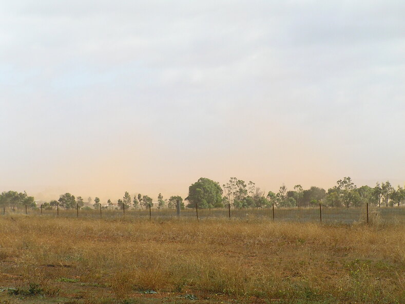
5644.04 - Beattys Road Paddocks Rockbank 2008 Photo 03.JPG
Subjects
References
- Heritage Victoria History of the Inn