Historical information
New Chum Railway Mine was located in between Breen Street and the Railway Line in Golden Square. Nearest intersection, Breen and Laurel Streets.
Latitude & Longitude (WGS84): 36° 46' 20'' South , 144° 15' 57'' East
Latitude & Longitude (decimal): -36.77235,144.26581
Physical description
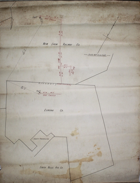
Plan on white paper of New Chum Railway Gold Mine, Eureka Gold Mine and South Bellevue lease boundaries.
Forms part of the Margaret Roberts Collection