

Physical description
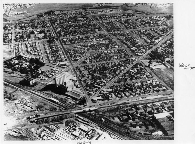
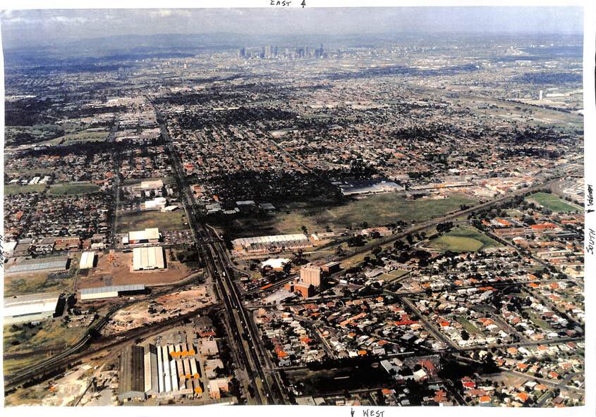
Two aerial photographs of the Sunshine and Albion area. These photographs were commissioned by the Albion State School
691.01 - Photograph 1 Looking south c 1960 to 1961. Albion State School. Center shows an area of land behind houses between Gunnedah St and Coolamon St This land is locked in by houses of McKays subdivision after WWI for returned soldiers settlement project Top shows Sunshine Golf Course area later known as Glengala
692.02 - Photograph 2 East to west view c 1994 Center Albion State School Houses Darling Flour Mill Sawtooth factory roof built by Sunshine Cabinet Works Center Barclay Reserve McKay factory sites Hampshire Rd Plaza Shopping Centre residential area North Bendigo rail line Myer building formerly Nettlefolds Bunnings Sunshine High School Braybrook Maribyrnong River North Melbourne