Historical information
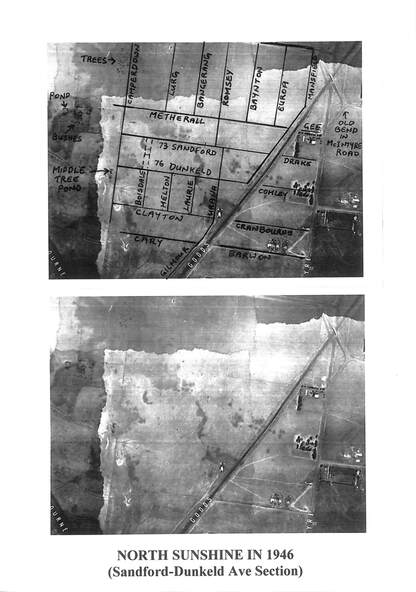
The images were cropped out of aerial photo-map 848b1b produced by the Victorian Department of Lands and Survey from Aerial Photographs taken by Adastra Airways in 1945-1946. The photo-map was downloaded from the University of Melbourne Map Collection site http://www.lib.unimelb.edu.au/collections/maps/historical/1945melb/
Physical description
Black & white photograph of North Sunshine in 1946 Sandford to Dunkeld Ave Section
Inscriptions & markings
North Sunshine in 1946 Sandford to Dunkeld Ave Section