Historical information
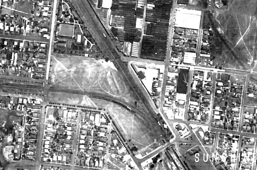
The image was cropped out of aerial photo-map 8488b1d produced by the Victorian Department of Lands and Survey from aerial photography taken by Adastra Airways in 1945 The photo-map was downloaded from the University of Melbourne map collection site http://www.lib.unimellb.edu.au/collections/maps/historicall/1945melb/
Physical description
Black & white photograph of the Sunshine CBD C1945
Inscriptions & markings
1945 view of Part of Sunshine showing the Avenue of Honour in Sun Crescent