

Historical information
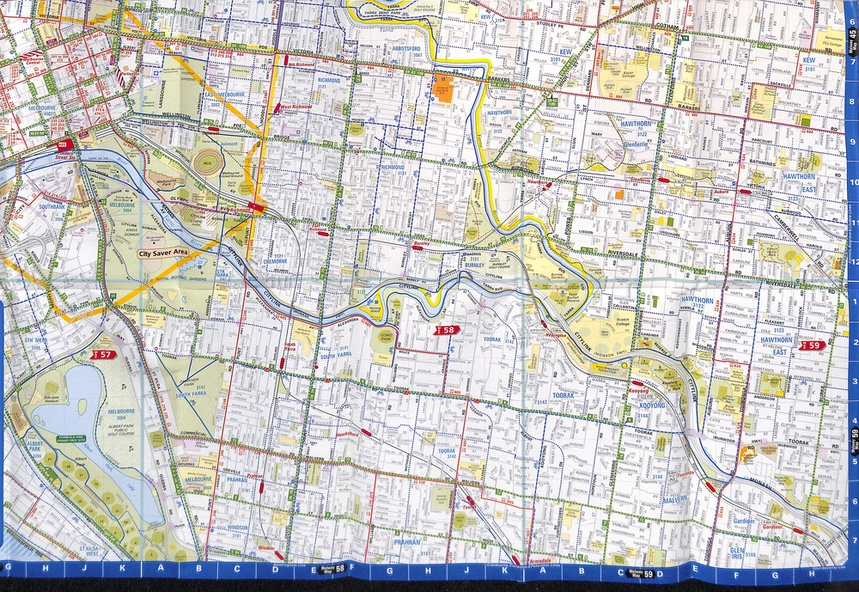
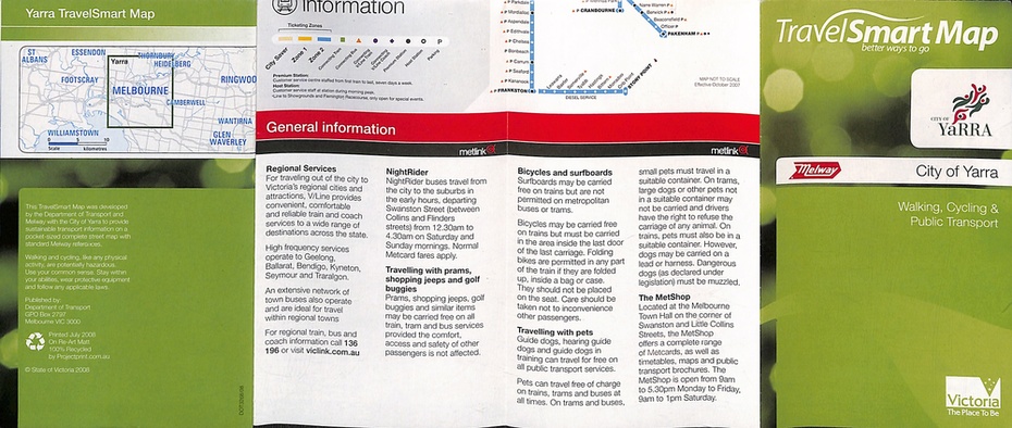
Gives extensive details of walking cycling Public Transport in Port Phillip. Printed 2010. Map showing walking, cycling and public transport in the City of Port Phillip, using a Melway Map base along with public transport information, Metcard, cycling and walking groups.
Significance
Yields information about City of Yarra transport and other services in 2010
Physical description
Map - pocket - 28 fold - printed in full colour