


Historical information
Produced by City of Bendigo, signed by the City Engineer.
Significance
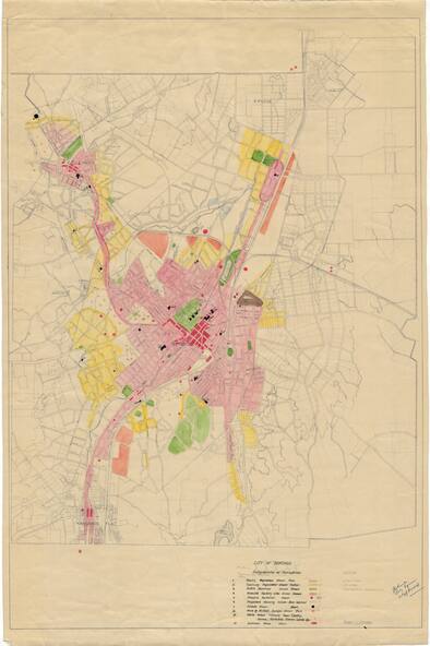
Print of a map showing in very good detail, Bendigo in 1949. Document was hand marked up with ink, water colour and pencil to show population distribution, includes a legend to the bottom of the map.
Physical description
City of Bendigo document, unnumbered; "Plan of Location of Roads and Streets.". Drawn 1948. Original dyeline print.
Inscriptions & markings
Original dyeline print. Hand marked up with pen, pencil and water colour. Signed by the City Engineer in blue pen in bottom righthand corner.
