



Physical description
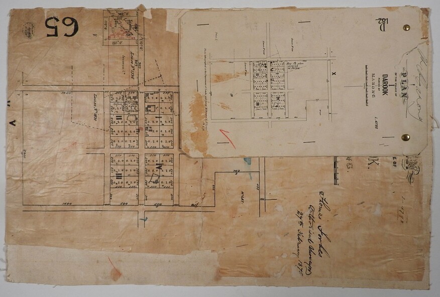
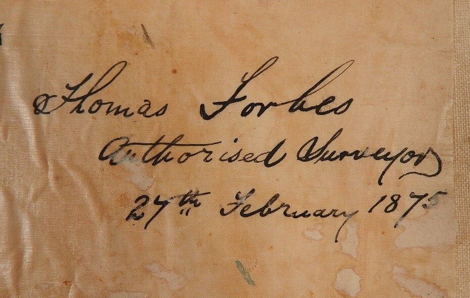
Buff coloured waxed paper with black print and black handwriting attached to canvas on thick paper which was part of a Township of Elmore map. Printed at the centre top of the plan - PLAN OF THE VILLAGE OF DAROOK PARISH OF MARONG. Black handwriting underneath - Thomas Forbs Authorized Surveyor 27th February 1875. There are six roads in a right-angle grid with 16 double allotments measuring 200 ? by 250 ?, two allotments measuring 300? by 500? and a school site. Attached with two brass split pins there is a duplicate on cardboard one quarter of the original size.
