
Historical information
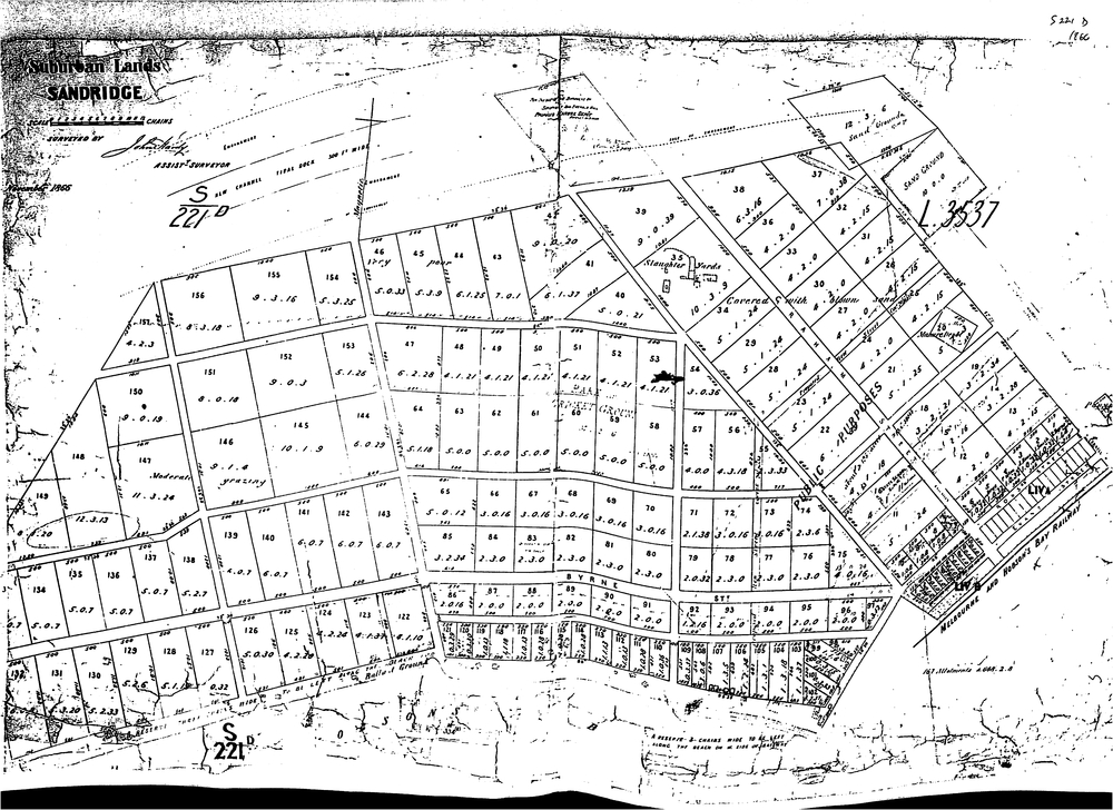
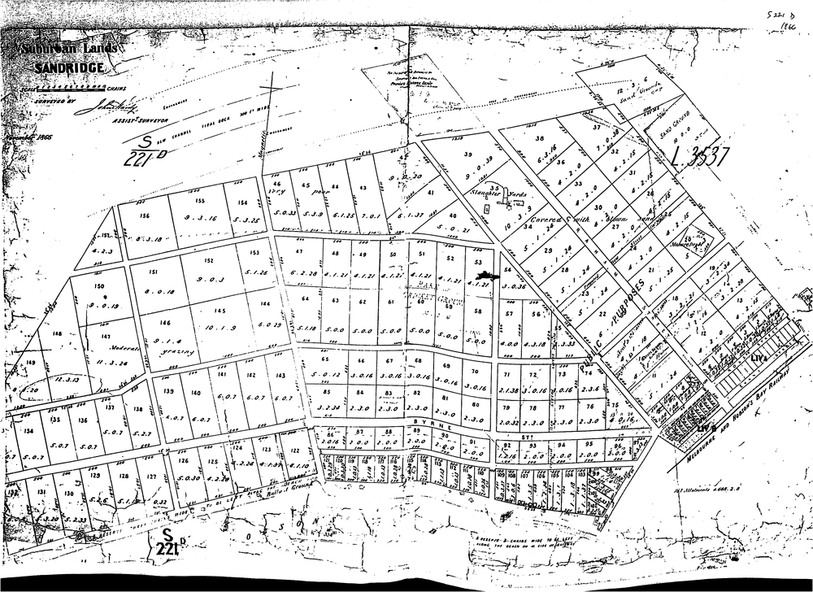
This is a survey map of the western side of Sandridge which is dated November 1866. The layout of allotments as proposed in this map largely did not proceed as shown. The survey was prepared by John Hardy - Assistant Survey.
Physical description
Single black and white photo