
Historical information
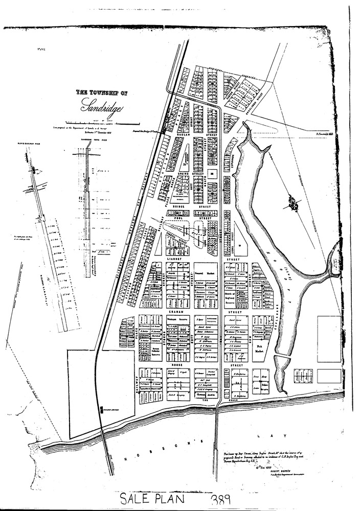
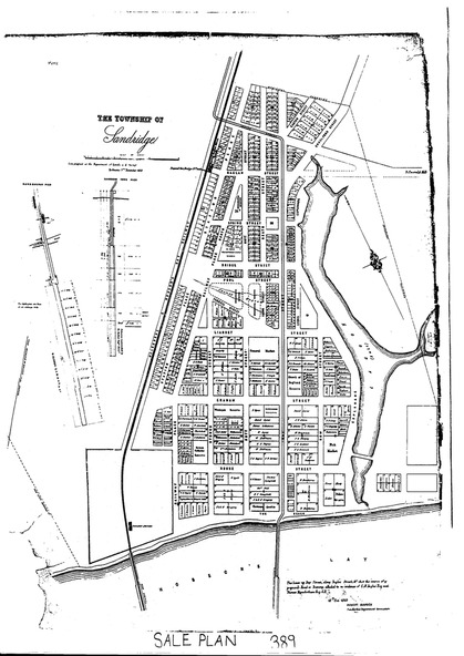
A map of the Township of Sandridge dated 5 November 1860. This map was lithographed at the Department of Lands and Survey in Melbourne. It is drawn to scale and shows allotments and names of owners. A clearer map can be viewed on the State Library website, see Reference for further detail.
Physical description
Black and white photo of a map.