
Historical information
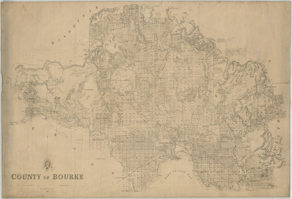
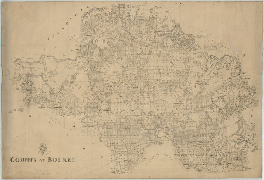
Map of the County of Bourke, Victoria. It depicts Sandridge as comprising 12 large allotments connected to central Melbourne by a single roadway and railway line.
Physical description
Digital copy of a plan, black and white.
Inscriptions & markings
Compiled by Thomas Bibbs, Lithographed by William Collins