
Historical information
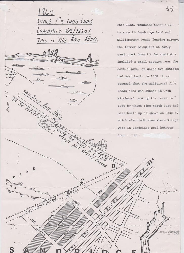
This survey map contains the following narration: "This Plan, produced about 1858 to show the Sandridge Bend and Williamstown Roads fencing survey, the former being but an early sand track down to the abattoirs, included a small section near the cattle gate, on which two cottages had been build in 1860 it is assumed that the additional five roods area was dubbed in when Kitchens’ took up the lease in 1869 by which time North Port had been built up as shown on Page 57 which also indicates where Kitchens were in Sandridge Road between 1859 – 1869." The document from which this map has been taken is not known. It is likely that the name Sandridge Bend Road was the local name for this sandy track which led from Williamstown Road to the Yarra River which was eventually formerly known as Ingles Street.
Physical description
Black and white copy of a hand drawn survey map.
Subjects
References
- Ingles Street Article written by David Radcliffe about the origins of Ingles Street, Port Melbourne.