Showing 208 items matching " south road moorabbin"
-
 Kingston Arts
Painting, John Canning, Twilight
-
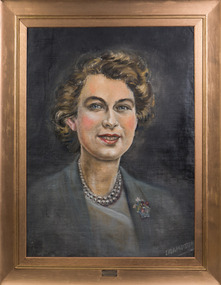 Kingston Arts
Painting, Crampton, Queens Portrait 1952, 1952
-
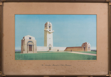 Kingston Arts
Print, Cyril A. Farey, The Australian Memorial, 1935
-
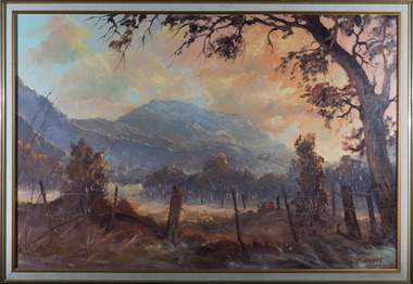
 Kingston Arts
Painting, Paul Warner, Morning Near Yea
-
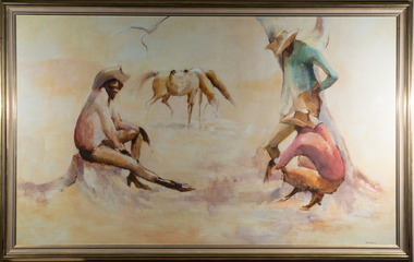 Kingston Arts
Painting, Bette Hays, Stockman, 1979
-
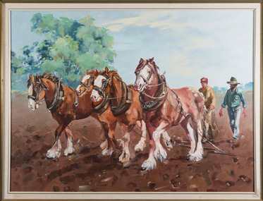 Kingston Arts
Painting, Penelope Coridas, Wiltshire Clydesdales, 1986
-
 Kingston Arts
Painting, John Canning, Chelsea Beach
-
 Kingston Arts
Painting, Shirley Hunter, Royal Parade - Parkville
-
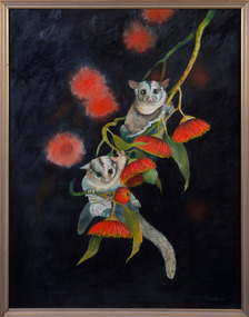 Kingston Arts
Painting, Dawn Stubbs, Sugar Gliders, 1989
-
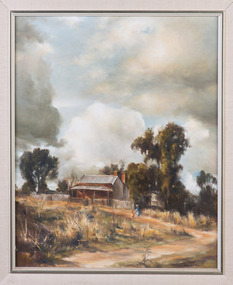 Kingston Arts
Painting, Norma Turner, Storm Clouds
-
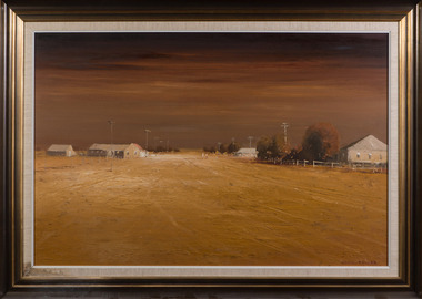
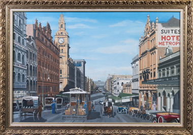 Kingston Arts
Painting, Graeme Hardiman, Bourke Street, April,1993
-
 Kingston Arts
Painting, Pauline Quinn, Patterson River, 1981
-
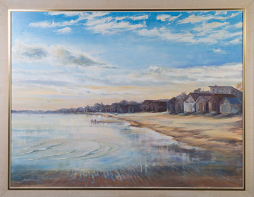
 Kingston Arts
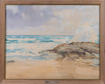
Painting, John Morrisey, Surf Beach Sorrento
-
 Kingston Arts
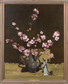
Painting, Judith Wills, Flowering Almond Blossom, 1978
-
 Kingston Arts
Painting, A. Todman, Morning Haze
-
 Kingston Arts
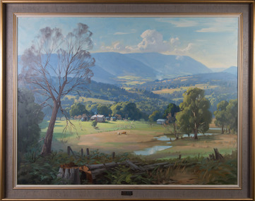
Painting, Ernest Buckmaster, Yarra Valley Towards Warburton, 1963
-
 Kingston Arts
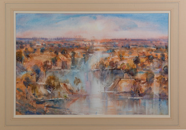
Painting, Charles Moodie, Inland River, 1988
-
 Kingston Arts
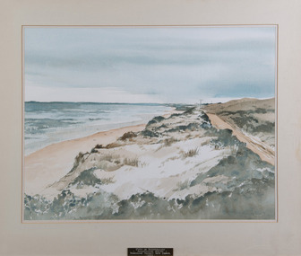
Painting, John Sterchele, Autumn - Woolamai Beach
-
 Kingston Arts
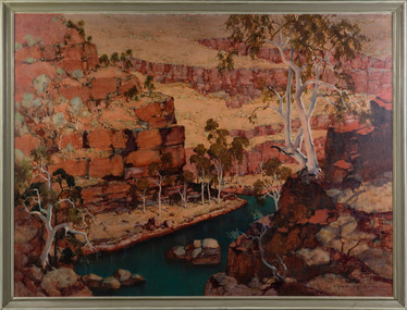
Painting, C. Dudley Wood, Dale's Gorge - Hammersley Range, 1968
-
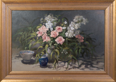
 Kingston Arts
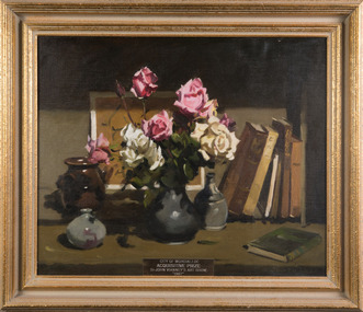
Painting, Judith Wills, Still Life with Roses, October, 1986
-
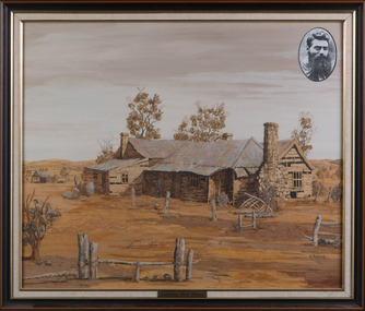 Kingston Arts
Painting, Doris Percival, Ned Kelly's Old Home
-
 Kingston Arts
Painting, Colin Ross Parker, Jundah, Western Queensland, 1973
-
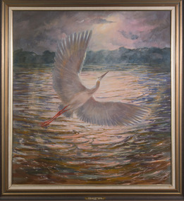 Kingston Arts
Painting, Jean Gray, Heron Rising, 1981
-
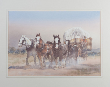 Kingston Arts
Painting, Gaye Bonham, Horsedrawn Woolwagon
-
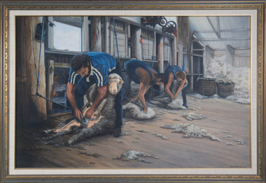 Kingston Arts
Painting, Dorothy Turnbull, Shearing at Wallanthedy Station, 1988
-
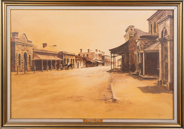 Kingston Arts
Painting, Julie Ogier, Clare 1870
-
 Kingston Arts
Painting, Wendy Smith, Pink Roses
-
 Bayside Gallery - Bayside City Council Art & Heritage Collection
Map, Department of Crown Lands and Survey et al, Moorabbin, County of Bourke, Government Roads, 1920
The cadastral map of the Parish of Moorabbin in Victoria (L.6104) shows parish boundaries and land ownership 1920 when Sandringham was a Town. The government roads have been coloured in red pencil.moorabbin, county of bourke, map, plan, land subdivision, land titles, foreshores, hampton, beaumaris, highett, cheltenham, department of lands and survey, land owners, cartographic material, brighton, sandringham, town of sandringham, government roads -
 Bayside Gallery - Bayside City Council Art & Heritage Collection
Map, Department of Crown Lands and Survey, Moorabbin, County of Bourke, c. 1918
The cadastral map of the Parish of Moorabbin in Victoria (L.6104) shows parish boundaries and land ownership c. 1918 when Sandringham was a Borough.moorabbin, county of bourke, map, plan, land subdivision, land titles, foreshores, sndringham, hampton, beaumaris, highett, cheltenham, department of lands and survey, land owners, cartographic material, borough of sandringham, brighton -
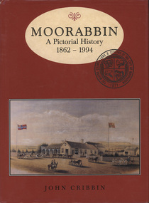 Glen Eira City Council History and Heritage Collection
Book, "Moorabbin: A Pictorial History, 1862 - 1994", 1995
Copy of pictorial history book written by John Cribbin significantly signed by councillors and the author on the first page.The words "Moorabbin: A Pictorial History, 1862 - 1994" printed in brown colour in and oval at the top of a red, hard paper cover book, copy of an image of horse and carts and Gregg's Plough and Harrow Hotel, South Brighton below. Below that name of author "John Cribbin" is printed.